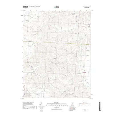
2019 Map of Lucasville
USGS Topo · Published 2019About this map
Lucasville anchors the southwestern corner of this Scioto County landscape, where the N & W Ry corridor parallels the Scioto River valley just off-sheet. The terrain is defined by a dense network of ridges and hollows, such as Rapp Hollow, Coon Hollow, and Brigner Hollow, which separate small upland farms and family cemeteries. These burial sites, including Haskins Cem, Gee Cem, and Slavens Cem, are scattered across the high ground, often reached by winding township roads like Twp Hwy 157 and Twp Hwy 185. Notable landmarks like Haystack Knob and Goldust Hill rise above the drainages of Cockrell Run and Blue Run. The map illustrates a traditional Appalachian transition from valley commerce to isolated hillside homesteads, centered on established community nodes like the Bailey Chapel and New Scioto Cem area.
Find a feature on this map
131 named features on this map. Tap any name to fly to it.
Don’t see what you’re looking for? This feature index may not catch every label — zoom into the map to look around manually.
Map Details
Editions of this 2019 Lucasville Map
This is the sole edition of this map. No revisions or reprints were ever made.
Other maps of this area

1906 · Waverly
USGS Topo · 1:62,500

1908 · Waverly
USGS Topo · 1:62,500

1911 · Sciotoville
USGS Topo · 1:62,500

1913 · Sciotoville
USGS Topo · 1:62,500

1915 · Otway
USGS Topo · 1:62,500

1915 · Piketon
USGS Topo · 1:62,500

1917 · Piketon
USGS Topo · 1:62,500

1917 · Otway
USGS Topo · 1:62,500

1944 · Piketon
USGS Topo · 1:62,500

1947 · Columbus
USGS Topo · 1:250,000