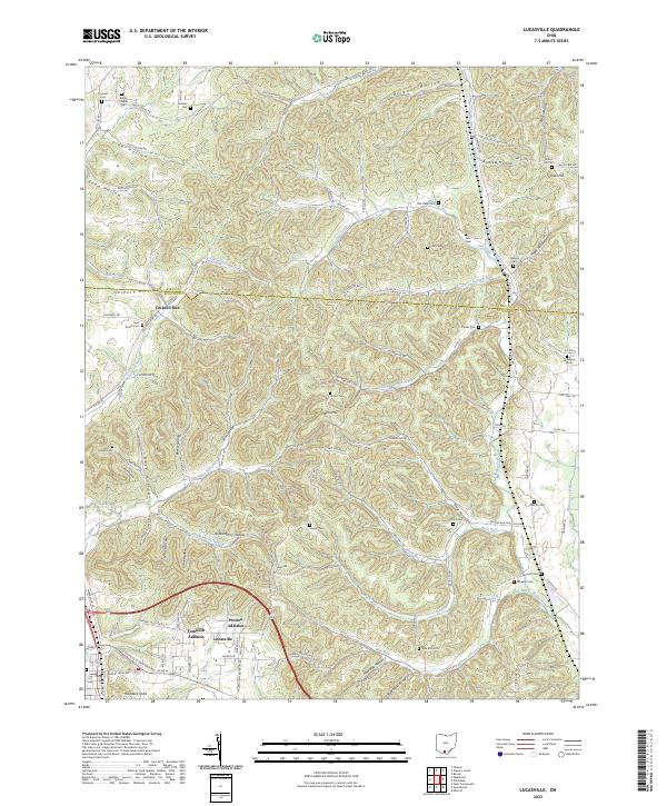
2023 Map of Lucasville
USGS Topo · Published 2023About this map
Lucasville serves as the primary residential hub on this contemporary study of southern Ohio, flanked by the residential developments of Tomlison Addition and Preston Addition. The landscape is defined by a dense network of hollows and ridges, with prominent elevations such as Gravel Hill, Rose Hill, and the distinctively named Haystack Knob rising above the creek valleys. Drainage follows a complex system of runs and forks, including Dutch Run and Owl Creek in the north, while Blue Run and Rocky Fork carve through the southern reaches of the quadrangle.
Find a feature on this map
103 named features on this map. Tap any name to fly to it.
Don’t see what you’re looking for? This feature index may not catch every label — zoom into the map to look around manually.
Map Details
Editions of this 2023 Lucasville Map
This is the sole edition of this map. No revisions or reprints were ever made.
Other maps of this area

1906 · Waverly
USGS Topo · 1:62,500

1908 · Waverly
USGS Topo · 1:62,500

1911 · Sciotoville
USGS Topo · 1:62,500

1913 · Sciotoville
USGS Topo · 1:62,500

1915 · Otway
USGS Topo · 1:62,500

1915 · Piketon
USGS Topo · 1:62,500

1917 · Piketon
USGS Topo · 1:62,500

1917 · Otway
USGS Topo · 1:62,500

1944 · Piketon
USGS Topo · 1:62,500

1947 · Columbus
USGS Topo · 1:250,000