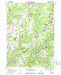
1967 Map of Lucinda
USGS Topo · Published 1989About this map
The Clarion River carves a deep valley through the southern half of this Clarion County landscape, separating the townships of Highland, Paint, and Millcreek. Industry and history are closely linked here, evidenced by the Iron Furnace (Ruins) near Helen Furnace and the extensive Strip Mines that dot the plateaus between Toby Creek and Little Toby Creek. The settlement at Lucinda serves as a local hub, featuring St Josephs Ch and St Josephs Sch alongside the Baltimore and Ohio rail line.
Find a feature on this map
44 named features on this map. Tap any name to fly to it.
Don’t see what you’re looking for? This feature index may not catch every label — zoom into the map to look around manually.
Map Details
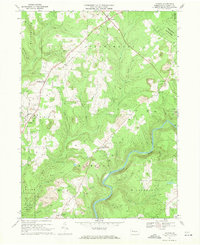
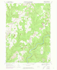
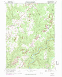
Editions of this 1967 Lucinda Map
4 editions found
Other maps of this area

1906 · Clarion
USGS Topo · 1:62,500

1907 · Clarion
USGS Topo · 1:62,500

1918 · Loleta
USGS Topo · 1:62,500

1922 · Tionesta
USGS Topo · 1:62,500

1924 · Tionesta
USGS Topo · 1:62,500

1924 · Brookville
USGS Topo · 1:62,500

1926 · Brookville
USGS Topo · 1:62,500

1936 · Marienville
USGS Topo · 1:48,000

1941 · Marienville
USGS Topo · 1:62,500

1944 · Brookville
USGS Topo · 1:62,500