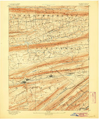
1893 Map of Lykens
USGS Topo · Published 1905About this map
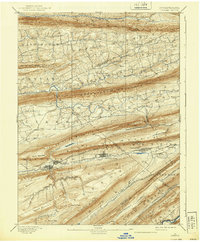
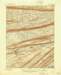
Anthracite mining operations dominate the central valleys of this late 19th-century survey, where the Summit Branch Railroad connects industrial hubs like Lykens, Wiconisco, and Williamstown. The landscape is defined by the sharp, parallel ridges of the Appalachian Mountains, including Coal or Thick Mountain and Berry Mountain, which channeled settlement and transportation into narrow, east-west corridors.
Find a feature on this map
90 named features on this map. Tap any name to fly to it.
Don’t see what you’re looking for? This feature index may not catch every label — zoom into the map to look around manually.
Map Details
Editions of this 1893 Lykens Map
7 editions found
Other maps of this area

1889 · Catawissa
USGS Topo · 1:62,500

1891 · Lebanon
USGS Topo · 1:62,500

1892 · Catawissa
USGS Topo · 1:62,500

1892 · Lykens
USGS Topo · 1:62,500

1892 · Hummelstown
USGS Topo · 1:62,500

1892 · Shamokin
USGS Topo · 1:62,500

1892 · Harrisburg
USGS Topo · 1:62,500

1892 · Pine Grove
USGS Topo · 1:62,500

1893 · Sunbury
USGS Topo · 1:62,500

1893 · Lykens
USGS Topo · 1:62,500