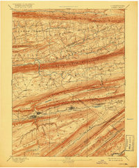
1893 Map of Lykens
USGS Topo · Published 1917About this map
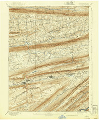
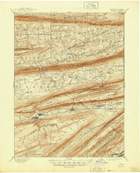
The anthracite coalfields of the ridge-and-valley region are clearly defined in this late 19th-century survey, specifically highlighting the industrial corridor between Wiconisco Mountain and Berry Mountain. Broad bands of Coal deposits are mapped along the high ridges, fueling the growth of company towns and rail junctions. The Summit Branch Railroad and the Lykens Valley Branch of P. and R. Railroad serve as the primary arteries for this extractive economy, connecting Lykens, Williamstown, and Tower City to wider markets. North of these industrial heights, the landscape shifts toward the agricultural valleys of Hubley and Hegins, where smaller settlements like Gratz, Sacramento, and Valley View are established along the drainage of Mahantango Creek and Deep Creek. The map provides a detailed view of the complex topography that dictated Pennsylvania's early mining infrastructure and rural settlement patterns.
Find a feature on this map
85 named features on this map. Tap any name to fly to it.
Don’t see what you’re looking for? This feature index may not catch every label — zoom into the map to look around manually.
Map Details
Editions of this 1893 Lykens Map
7 editions found
Other maps of this area

1889 · Catawissa
USGS Topo · 1:62,500

1891 · Lebanon
USGS Topo · 1:62,500

1892 · Catawissa
USGS Topo · 1:62,500

1892 · Lykens
USGS Topo · 1:62,500

1892 · Hummelstown
USGS Topo · 1:62,500

1892 · Shamokin
USGS Topo · 1:62,500

1892 · Harrisburg
USGS Topo · 1:62,500

1892 · Pine Grove
USGS Topo · 1:62,500

1893 · Sunbury
USGS Topo · 1:62,500

1893 · Lykens
USGS Topo · 1:62,500