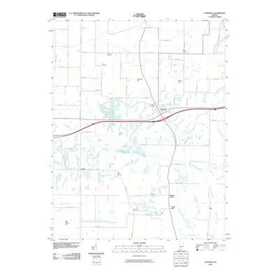
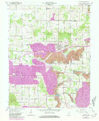
1960 Map of Lynnville
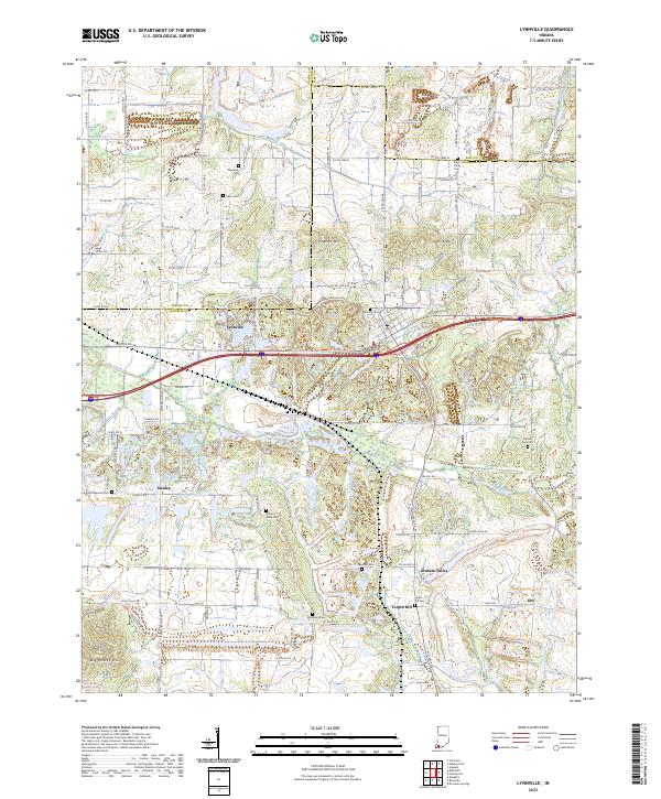
USGS Topo · Published 1988About this map
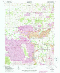
Lynnville serves as the focal point of this southwestern Indiana landscape, where the agricultural traditions of Barton and Greer townships meet the heavy industrial footprint of the Lynnville Mine. The 1960 survey, updated with late-1980s data, documents an era of significant land alteration, with vast areas marked as reclaimed strip mine and active strip mines stretching across the terrain. These industrial sites are interspersed with established community landmarks, including St Matthews Ch and North Friendship Ch, alongside several family and community burial grounds like Kilpatrick Cem and Mt Olive Cem. Drainage for the region is provided by the winding courses of Big Creek and Smith Fork, which flow through a topography punctuated by elevations such as Ringham Hill and Dyson Knob. Small settlements like Stanley and Eby anchor the rural road network, while Graham Valley sits near the southern extent of the coal-rich corridor.
Find a feature on this map
57 named features on this map. Tap any name to fly to it.
Don’t see what you’re looking for? This feature index may not catch every label — zoom into the map to look around manually.
Map Details
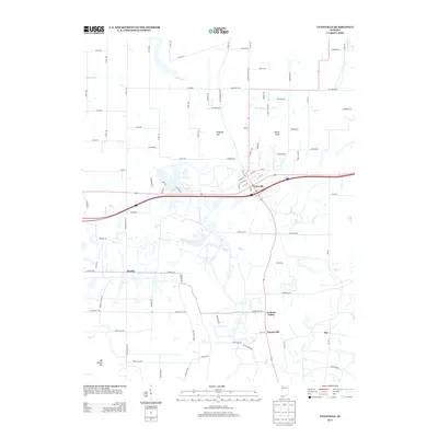
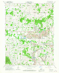
Editions of this 1960 Lynnville Map
5 editions found
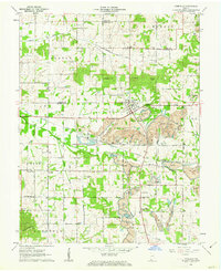
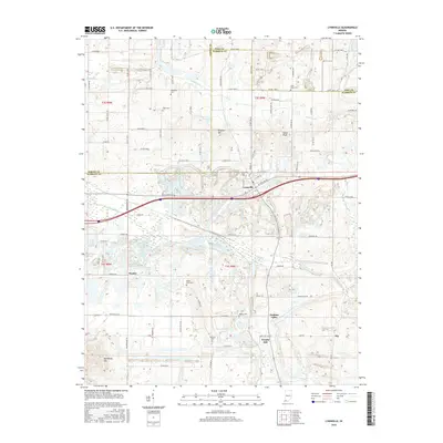
Historical Maps of Lynnville Through Time
6 maps found