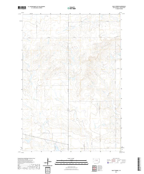
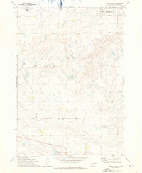
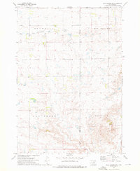
2021 Map of Macs Corner
USGS Topo · Published 2021About this map
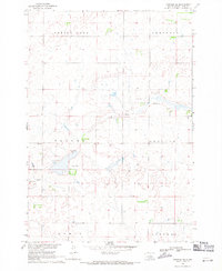
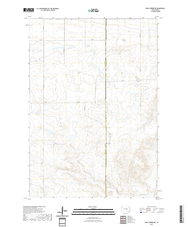
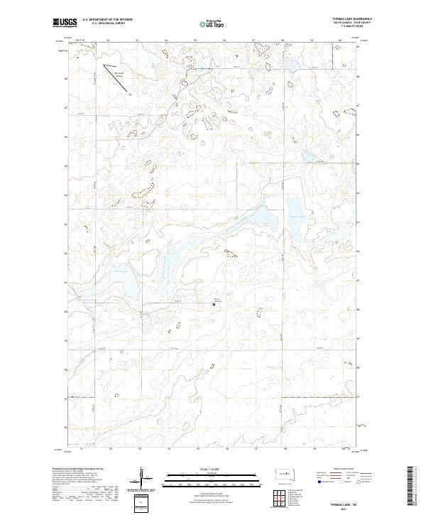
W Fork Elm Cr meanders across this rural section of Hyde County, marking the primary drainage for a landscape defined by its rigid grid of section lines and range boundaries. This 2021 survey illustrates a sparse settlement pattern characteristic of the High Plains, where vast tracts of land are partitioned into townships like t110n r72w and t111n r71w. The infrastructure is primarily composed of an orderly network of county roads and avenues, such as Co Rd 961 and 337th Ave, which facilitate movement between scattered homesteads and agricultural operations. The inclusion of Chieftain Rd in the southern portion of the sheet provides a specific point of reference for local historians or genealogists tracing family land holdings in this part of South Dakota. The lack of concentrated municipal centers highlights the enduring agricultural character of the region into the twenty-first century.
Find a feature on this map
22 named features on this map. Tap any name to fly to it.
Don’t see what you’re looking for? This feature index may not catch every label — zoom into the map to look around manually.
Map Details
Editions of this 2021 Macs Corner Map
This is the sole edition of this map. No revisions or reprints were ever made.
Historical Maps of Fort Thompson District Through Time
27 maps found
1949 Mitchell Lake
Hyde County, SD

1950 Highmore SE
Hyde County, SD
1950 Mitchell Lake
Hyde County, SD
1951 Rice Lake
Hyde County, SD

1966 Lower Brule NE
Hyde County, SD
1968 Harrold NE
Hyde County, SD
1968 Holabird
Hyde County, SD
1973 Chapelle Lake
Hyde County, SD
1973 Chapelle Lake SE
Hyde County, SD
1973 Macs Corner
Hyde County, SD
1973 Macs Corner NE
Hyde County, SD
1973 Macs Corner NW
Hyde County, SD
1973 Macs Corner SE
Hyde County, SD
1978 Thomas Lake
Hyde County, SD
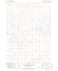
2021 Chapelle Lake
Hyde County, SD
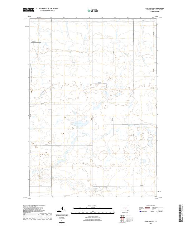
2021 Chapelle Lake SE
Hyde County, SD
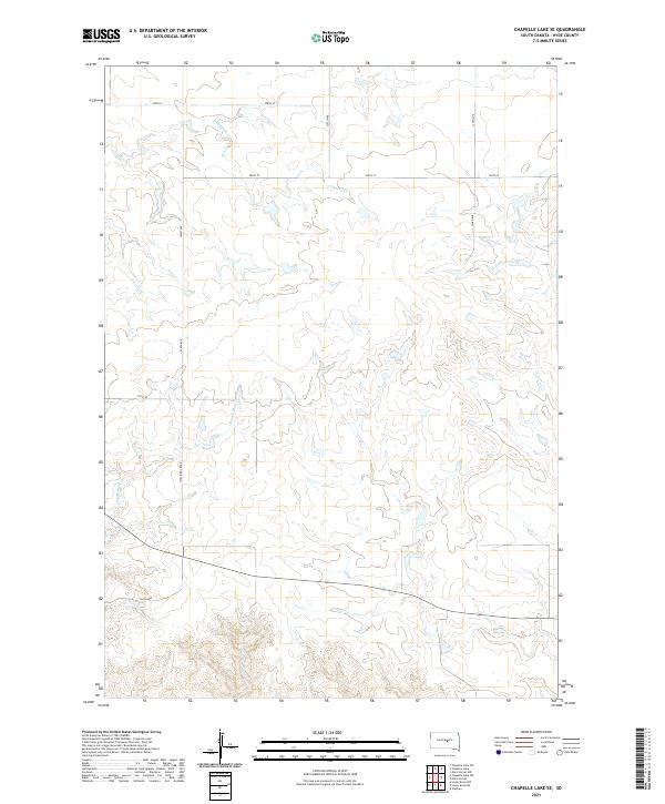
2021 Harrold NE
Hyde County, SD
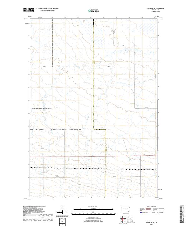
2021 Highmore SE
Hyde County, SD
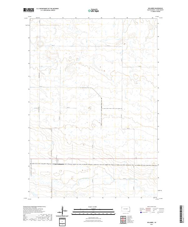
2021 Holabird
Hyde County, SD
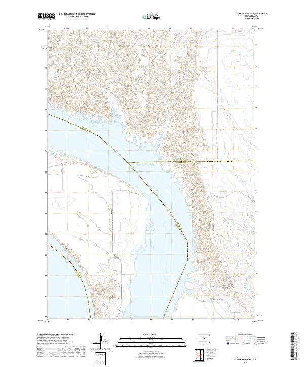
2021 Lower Brule NE
Hyde County, SD
2021 Macs Corner
Hyde County, SD
2021 Macs Corner NE
Hyde County, SD
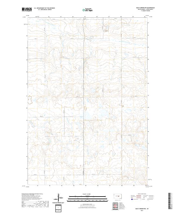
2021 Macs Corner NW
Hyde County, SD
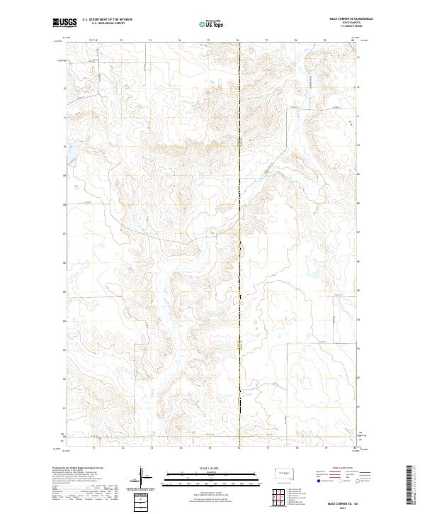
2021 Macs Corner SE
Hyde County, SD
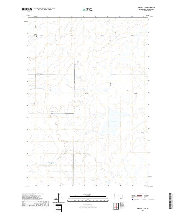
2021 Mitchell Lake
Hyde County, SD
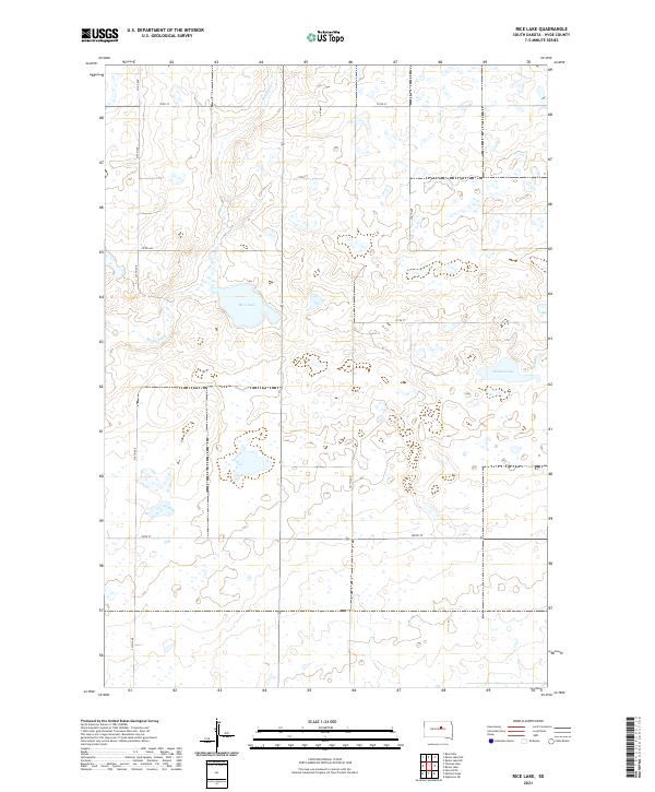
2021 Rice Lake
Hyde County, SD
2021 Thomas Lake
Hyde County, SD
Featured Locations
- United States
- South Dakota
- Fort Thompson District, SD
- Hyde County, SD
- Mac's Corner, Fort Thompson District