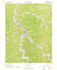
1962 Map of Madison
USGS Topo · Published 1977About this map
The Little Coal River serves as the central artery for this portion of Boone County, winding through the valley where Madison and Danville serve as primary hubs of activity. During the mid-20th century, the landscape reflected an intensive extraction economy, evidenced by the numerous gas wells, pipelines, and a quarry that dot the surrounding hillsides. Transportation in the region is defined by the Chesapeake and Ohio railroad corridor, which follows the river's path to support local industry.
Find a feature on this map
90 named features on this map. Tap any name to fly to it.
Don’t see what you’re looking for? This feature index may not catch every label — zoom into the map to look around manually.
Map Details
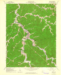
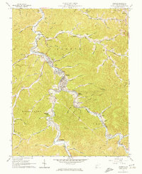
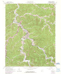
Editions of this 1962 Madison Map
4 editions found
Other maps of this area

1891 · Oceana
USGS Topo · 1:125,000

1893 · Oceana
USGS Topo · 1:125,000

1898 · Oceana
USGS Topo · 1:125,000

1899 · Charleston
USGS Topo · 1:125,000

1909 · Peytona
USGS Topo · 1:48,000

1910 · Bald Knob
USGS Topo · 1:48,000

1911 · Peytona
USGS Topo · 1:62,500

1911 · Madison
USGS Topo · 1:62,500

1912 · Bald Knob
USGS Topo · 1:62,500

1913 · Logan
USGS Topo · 1:62,500