
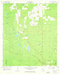
1958 Map of Madison SE
USGS Topo · Published 1959About this map
Patterson Sink and a complex network of solution depressions characterize this landscape in the late 1950s, where the limestone geology of northern Florida is on full display. The area is defined by its numerous named ponds and sinks, including Mitchel Sink and Johnson Sink, which reveal the active karst processes common near the Suwannee River. Human settlement is sparse and focused around community centers like Midway Ch and its adjacent Cem, as well as Bethel Cr Ch further south. The drainage patterns are dictated by short runs such as Norton Creek, Blacksnake Creek, and Mill Creek, which flow through the timbered terrain. A prominent Lookout Tower stands near the intersection of the Madison Co and Lafayette Co line, serving as a vital landmark for fire management in this densely wooded region.
Find a feature on this map
28 named features on this map. Tap any name to fly to it.
Don’t see what you’re looking for? This feature index may not catch every label — zoom into the map to look around manually.
Map Details
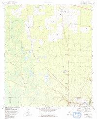
Editions of this 1958 Madison SE Map
3 editions found
Other maps of this area

1954 · Day
USGS Topo · 1:24,000

1954 · Dowling Park
USGS Topo · 1:24,000

1954 · Day NW
USGS Topo · 1:24,000

1954 · Valdosta
USGS Topo · 1:250,000

1958 · Valdosta
USGS Topo · 1:250,000

1958 · Madison SW
USGS Topo · 1:24,000

1958 · Lee
USGS Topo · 1:24,000

1959 · Valdosta
USGS Topo · 1:250,000

1959 · Madison
USGS Topo · 1:24,000

1959 · Ellaville
USGS Topo · 1:24,000