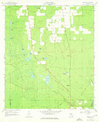
1958 Map of Madison SE
USGS Topo · Published 1976About this map
Midway Ch and its associated Midway Ch Cem stand along the northern roads of this landscape, marking a community hub in a region defined by complex karst topography. The area is pockmarked with significant depressions and lakes, including Patterson Sink, Mitchel Sink, and the aptly named Tenmile Pond. These geological features hint at the underlying limestone structure typical of this part of Florida, where drainage often disappears underground only to resurface in the nearby river systems.
Find a feature on this map
31 named features on this map. Tap any name to fly to it.
Don’t see what you’re looking for? This feature index may not catch every label — zoom into the map to look around manually.
Map Details
Editions of this 1958 Madison SE Map
3 editions found
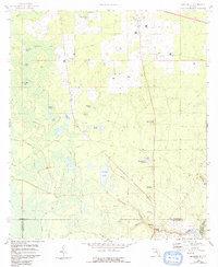
Other maps of this area

1954 · Day
USGS Topo · 1:24,000

1954 · Dowling Park
USGS Topo · 1:24,000

1954 · Day NW
USGS Topo · 1:24,000

1954 · Valdosta
USGS Topo · 1:250,000

1958 · Valdosta
USGS Topo · 1:250,000

1958 · Madison SW
USGS Topo · 1:24,000

1958 · Madison SE
USGS Topo · 1:24,000

1958 · Lee
USGS Topo · 1:24,000

1959 · Valdosta
USGS Topo · 1:250,000

1959 · Madison
USGS Topo · 1:24,000