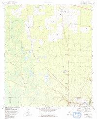
1958 Map of Madison SE
USGS Topo · Published 1993About this map
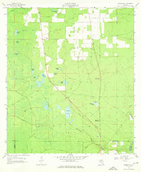
Midway Ch and its surrounding rural landscapes define this portion of north-central Florida, where the borders of Madison, Lafayette, Taylor, and Suwannee counties meet. The terrain is characterized by numerous depressions and water features typical of karst topography, ranging from Patterson Sink and Johnson Sink to larger bodies like Tenmile Pond and Pacolson Lake. These features suggest a complex subterranean drainage system feeding into the Suwannee River corridor visible at the southeastern edge of the sheet.
Find a feature on this map
29 named features on this map. Tap any name to fly to it.
Don’t see what you’re looking for? This feature index may not catch every label — zoom into the map to look around manually.
Map Details
Editions of this 1958 Madison SE Map
3 editions found
Other maps of this area

1954 · Day
USGS Topo · 1:24,000

1954 · Dowling Park
USGS Topo · 1:24,000

1954 · Day NW
USGS Topo · 1:24,000

1954 · Valdosta
USGS Topo · 1:250,000

1958 · Valdosta
USGS Topo · 1:250,000

1958 · Madison SW
USGS Topo · 1:24,000

1958 · Madison SE
USGS Topo · 1:24,000

1958 · Lee
USGS Topo · 1:24,000

1959 · Valdosta
USGS Topo · 1:250,000

1959 · Madison
USGS Topo · 1:24,000