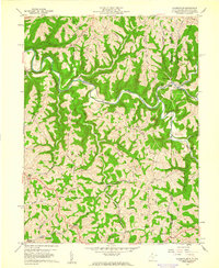
1959 Map of Majorsville
USGS Topo · Published 1961About this map
Wheeling Creek carves a winding path through this corner of the Northern Panhandle, where the rugged terrain of Marshall Co meets the Pennsylvania state line. The landscape is defined by high ridges like Number Two Ridge and Dry Ridge, which separate the various districts and dictate the placement of early mountain roads. In 1959, the area remained largely rural, dotted with small community centers such as Majorsville and Enlow, and marked by a series of family and community landmarks. Genealogists can identify specific burial grounds and places of worship, including the Earlywine Cem and Sand Hill Ch. The presence of a significant Pipeline network and scattered Mines alongside older landmarks like Crows Mills illustrates the transition of the local economy from traditional milling and farming toward the extraction and transport of regional resources.
Find a feature on this map
59 named features on this map. Tap any name to fly to it.
Don’t see what you’re looking for? This feature index may not catch every label — zoom into the map to look around manually.
Map Details
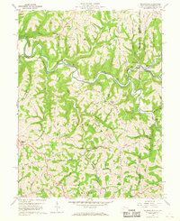
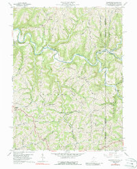
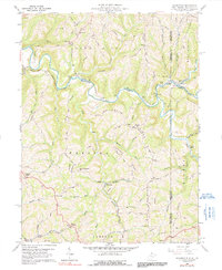
Editions of this 1959 Majorsville Map
4 editions found
Other maps of this area

1902 · Wheeling
USGS Topo · 1:62,500

1904 · Cameron
USGS Topo · 1:62,500

1905 · Rogersville
USGS Topo · 1:62,500

1907 · Claysville
USGS Topo · 1:62,500

1935 · Cameron
USGS Topo · 1:62,500

1935 · Wheeling
USGS Topo · 1:62,500

1942 · Cameron
USGS Topo · 1:62,500

1942 · Wheeling
USGS Topo · 1:62,500

1949 · Clarksburg
USGS Topo · 1:250,000

1951 · Canton
USGS Topo · 1:250,000