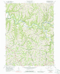
1959 Map of Majorsville
USGS Topo · Published 1988About this map
Wheeling Creek carves a deep valley through the northern portion of this landscape, where the tri-state junction of West Virginia and Pennsylvania creates a complex boundary network. In the late 1950s, this region was defined by a series of prominent ridges, including Chestnut Ridge and Lone Oak Ridge, that separated numerous small watersheds like Wolf Run and Irish Run. The settlement at Majorsville sits at the confluence of several forks, serving as a hub for a rural community supported by a patchwork of small farms and local schools such as Mt Hope Sch.
Find a feature on this map
65 named features on this map. Tap any name to fly to it.
Don’t see what you’re looking for? This feature index may not catch every label — zoom into the map to look around manually.
Map Details
Editions of this 1959 Majorsville Map
4 editions found
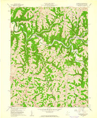
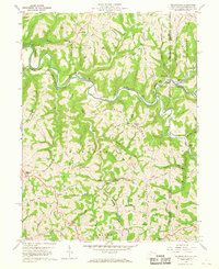
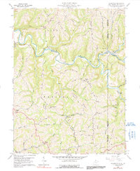
Other maps of this area

1902 · Wheeling
USGS Topo · 1:62,500

1904 · Cameron
USGS Topo · 1:62,500

1905 · Rogersville
USGS Topo · 1:62,500

1907 · Claysville
USGS Topo · 1:62,500

1935 · Cameron
USGS Topo · 1:62,500

1935 · Wheeling
USGS Topo · 1:62,500

1942 · Cameron
USGS Topo · 1:62,500

1942 · Wheeling
USGS Topo · 1:62,500

1949 · Clarksburg
USGS Topo · 1:250,000

1951 · Canton
USGS Topo · 1:250,000