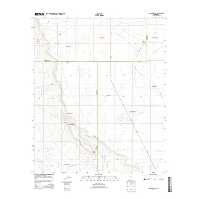
2013 Map of Maljamar NE
USGS Topo · Published 2013About this map
Mescalero Ridge dominates the center of this landscape, creating a distinct topographical divide that separates the flat eastern plains from the descending western terrain. This section of southeastern New Mexico is defined by a deep-rooted ranching and energy economy, where isolated holdings like Holeman-Taylor Ranch, Bond Ranch, and Anderson Ranch maintain a presence alongside significant petroleum operations. The map details the locations of the South Caprock Oil Field, West Anderson Oil Field, and Robinson Oil Field, connected by a network of secondary roads such as Co Road 121 and NM-249. Essential water sources for livestock and industrial use are marked throughout, including the Old Ranch Windmill, Four Bac Windmill, and Pipeline Windmill. Natural landmarks like Taylor Peak and the winding Taylor Draw provide orientation in this semi-arid environment.
Find a feature on this map
28 named features on this map. Tap any name to fly to it.
Don’t see what you’re looking for? This feature index may not catch every label — zoom into the map to look around manually.
Map Details
Editions of this 2013 Maljamar NE Map
This is the sole edition of this map. No revisions or reprints were ever made.
Other maps of this area

1954 · Hobbs
USGS Topo · 1:250,000

1954 · Brownfield
USGS Topo · 1:250,000

1958 · Brownfield
USGS Topo · 1:250,000

1958 · Hobbs
USGS Topo · 1:250,000

1962 · Brownfield
USGS Topo · 1:250,000

1962 · Buckeye
USGS Topo · 1:62,500

1963 · Maljamar
USGS Topo · 1:62,500
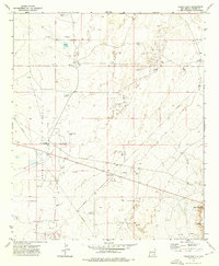
1973 · Cedar Point
USGS Topo · 1:24,000

1973 · Dean Ranch
USGS Topo · 1:24,000
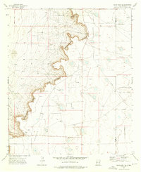
1973 · Cedar Point SE
USGS Topo · 1:24,000