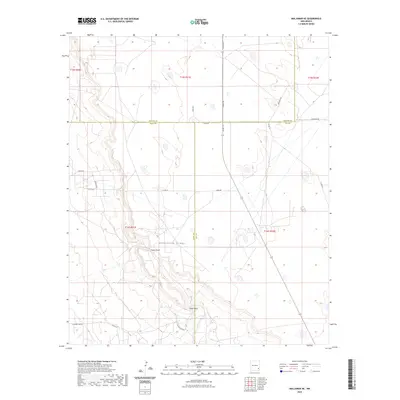
2023 Map of Maljamar NE
USGS Topo · Published 2023About this map
Mescalero Ridge dominates the southern landscape of this Chaves, Eddy, and Lea County border region, creating a distinct topographical break that defines the local geography. The escarpment overlooks Taylor Draw and the prominent Taylor Peak, marking a transition in the arid New Mexico terrain. This area is defined by its industrial and ranching infrastructure, evidenced by a grid of access roads including Tower Rd, Viola Rd, and Caprock Rd. The map illustrates the convergence of three counties—Chaves, Eddy, and Lea—underscoring the importance of this territory for land management and resource extraction. While residential settlements are absent, the dense network of numbered county roads like Co Rd 255 and specialized routes like Radio Rd suggest a landscape heavily utilized for utility and energy infrastructure in the early 21st century.
Find a feature on this map
23 named features on this map. Tap any name to fly to it.
Don’t see what you’re looking for? This feature index may not catch every label — zoom into the map to look around manually.
Map Details
Editions of this 2023 Maljamar NE Map
This is the sole edition of this map. No revisions or reprints were ever made.
Other maps of this area

1954 · Hobbs
USGS Topo · 1:250,000

1954 · Brownfield
USGS Topo · 1:250,000

1958 · Brownfield
USGS Topo · 1:250,000

1958 · Hobbs
USGS Topo · 1:250,000

1962 · Brownfield
USGS Topo · 1:250,000

1962 · Buckeye
USGS Topo · 1:62,500

1963 · Maljamar
USGS Topo · 1:62,500
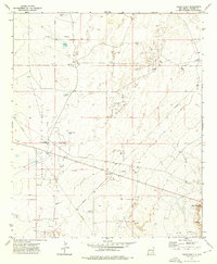
1973 · Cedar Point
USGS Topo · 1:24,000

1973 · Dean Ranch
USGS Topo · 1:24,000
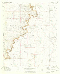
1973 · Cedar Point SE
USGS Topo · 1:24,000