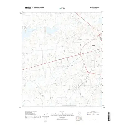
2019 Map of Mallard Hill
USGS Topo · Published 2019About this map
The eastern edges of Malakoff and the western outskirts of Athens define the corridor of this Henderson County landscape. Dominating the northwest corner, the Cedar Creek Reservoir meets the mouth of Caney Cr, while the central terrain is characterized by a network of rural routes such as Co Rd 1500 and Co Rd 1404 that connect small settlements like Crescent Heights. The map provides specific locations for local genealogical research, including Malakoff Cem, Goodgame Cem, and Walnut Creek Cem.
Find a feature on this map
84 named features on this map. Tap any name to fly to it.
Don’t see what you’re looking for? This feature index may not catch every label — zoom into the map to look around manually.
Map Details
Editions of this 2019 Mallard Hill Map
This is the sole edition of this map. No revisions or reprints were ever made.
Other maps of this area

1920 · Kemp
USGS Topo · 1:62,500

1948 · Martins Mill
USGS Topo · 1:62,500

1949 · Martins Mill
USGS Topo · 1:62,500

1949 · Athens
USGS Topo · 1:62,500

1950 · Athens
USGS Topo · 1:62,500

1954 · Dallas
USGS Topo · 1:250,000

1956 · Tyler
USGS Topo · 1:250,000

1957 · Kemp
USGS Topo · 1:62,500

1958 · Dallas
USGS Topo · 1:250,000

1960 · Mabank
USGS Topo · 1:24,000