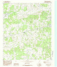
1984 Map of Mallard Hill
USGS Topo · Published 1984About this map
Cedar Creek Reservoir dominates the western edge of this East Texas landscape, providing a clear look at the shoreline and water levels as they stood in the mid-1970s and early 1980s. The area between the growing hub of Athens and the town of Malakoff is characterized by a dense network of tributaries including Walnut Creek, Caney Creek, and Pickens Branch, which feed into the larger reservoir system. Small rural settlements like Crescent Heights and Dauphin are positioned along the primary transit corridor, reflecting the residential patterns of Henderson County during this period.
Find a feature on this map
19 named features on this map. Tap any name to fly to it.
Don’t see what you’re looking for? This feature index may not catch every label — zoom into the map to look around manually.
Map Details
Editions of this 1984 Mallard Hill Map
This is the sole edition of this map. No revisions or reprints were ever made.
Other maps of this area

1920 · Kemp
USGS Topo · 1:62,500

1948 · Martins Mill
USGS Topo · 1:62,500

1949 · Martins Mill
USGS Topo · 1:62,500

1949 · Athens
USGS Topo · 1:62,500

1950 · Athens
USGS Topo · 1:62,500

1954 · Dallas
USGS Topo · 1:250,000

1956 · Tyler
USGS Topo · 1:250,000

1957 · Kemp
USGS Topo · 1:62,500

1958 · Dallas
USGS Topo · 1:250,000

1960 · Mabank
USGS Topo · 1:24,000