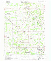
1961 Map of Mallet Creek
USGS Topo · Published 1974About this map
Valley City and the surrounding townships of Liverpool and York are centers of activity in this northern Ohio landscape. The diagonal path of the Baltimore and Ohio Railroad dictates the local geography, connecting settlements like Erhart, Lester, and Mallet Creek. This 1973 photorevision highlights the area's development, showing a mix of established agriculture and emerging infrastructure, such as the numerous pipelines crossing the terrain. Cultural life is anchored by local institutions like St Pauls Ch, Buckeye High Sch, and the Boy Scout Camp situated near the West Branch Rocky River. For genealogists and local historians, the map preserves the locations of several smaller burial grounds, including Greenhoe Cem and Rest Acre Cem, alongside named rural roads like Erhart Road and Cowley Road.
Find a feature on this map
44 named features on this map. Tap any name to fly to it.
Don’t see what you’re looking for? This feature index may not catch every label — zoom into the map to look around manually.
Map Details
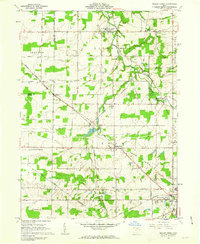
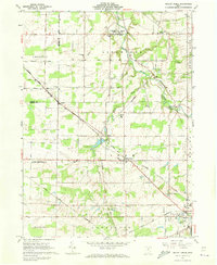
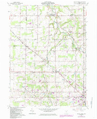
Editions of this 1961 Mallet Creek Map
4 editions found
Other maps of this area

1901 · Oberlin
USGS Topo · 1:62,500

1902 · Berea
USGS Topo · 1:62,500

1903 · Oberlin
USGS Topo · 1:62,500

1904 · Berea
USGS Topo · 1:62,500

1904 · Medina
USGS Topo · 1:62,500

1904 · Wellington
USGS Topo · 1:62,500

1906 · Medina
USGS Topo · 1:62,500

1906 · Wellington
USGS Topo · 1:62,500

1950 · Cleveland
USGS Topo · 1:250,000

1953 · West View
USGS Topo · 1:24,000