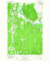
1953 Map of Maltby
USGS Topo · Published 1963About this map
Maltby and the surrounding river valleys of Snohomish County and King County are captured here during a period of agricultural and institutional development in the early 1950s. The landscape is defined by the confluence of the Snohomish River, Skykomish River, and Snoqualmie River, which carve through the Tualco Valley and past prominent heights like Lord Hill and Bald Hill. This survey provides a rare look at the footprint of the State Reformatory and its secondary site, State Reformatory Farm No 2, alongside the small settlements of Cathcart and Clearview.
Find a feature on this map
49 named features on this map. Tap any name to fly to it.
Don’t see what you’re looking for? This feature index may not catch every label — zoom into the map to look around manually.
Map Details
Editions of this 1953 Maltby Map
5 editions found
Other maps of this area

1895 · Snohomish
USGS Topo · 1:125,000

1897 · Seattle
USGS Topo · 1:125,000

1921 · Sultan
USGS Topo · 1:125,000

1923 · Sultan
USGS Topo · 1:125,000

1944 · Everett
USGS Topo · 1:62,500

1950 · Redmond
USGS Topo · 1:24,000

1950 · Kirkland
USGS Topo · 1:24,000

1953 · Monroe
USGS Topo · 1:24,000
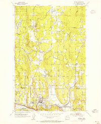
1953 · Bothell
USGS Topo · 1:24,000
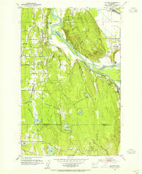
1953 · Maltby
USGS Topo · 1:24,000