Loading...
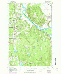
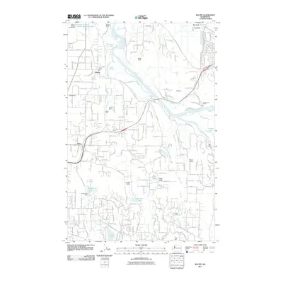
Loading map...1953 Map of Maltby
USGS Topo · Published 1981About this map
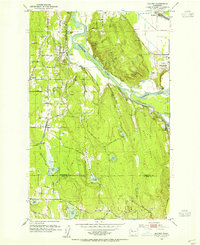
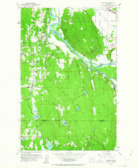
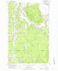
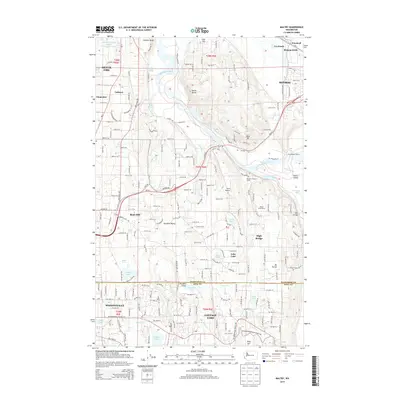
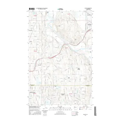
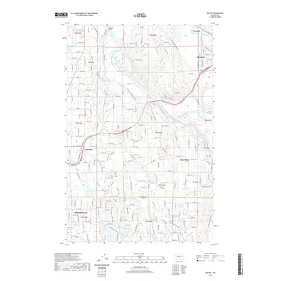
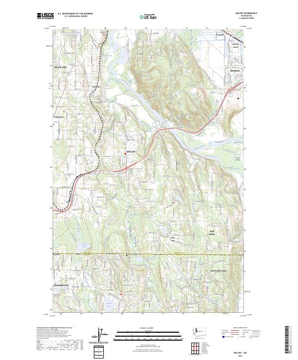
Snohomish River and Snoqualmie River define the hydraulic character of this landscape, carving through the terrain where the Cathcart-Snoqualmie River and Skykomish River converge. The 1953 topography, updated with late 1970s revisions, shows a period of transition as rural homesteads and agricultural tracts like Fryelands and Sky Meadow Ranch sit alongside the expansive State Reformatory and its associated State Reformatory Farm No 2.
Find a feature on this map
52 named features on this map. Tap any name to fly to it.
Don’t see what you’re looking for? This feature index may not catch every label — zoom into the map to look around manually.
Map Details
Date Portrayed1953
Date Published1981
PublisherU.S. Geological Survey
Map TypeTopographic
Scale1:24,000
Physical Dimensions22 x 27 inches
Editions of this 1953 Maltby Map
5 editions found

Historical Maps of Monroe Through Time
6 maps found
Featured Locations
Source Details
SourceU.S. Geological Survey
CopyrightPublic Domain