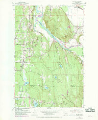
1953 Map of Maltby
USGS Topo · Published 1969About this map
The Snohomish River basin forms the heart of this mid-century survey, where the convergence of the Skykomish River and Snoqualmie River creates a complex network of wetlands and valley floor. The landscape is defined by its transition from the agricultural expanses of the Tualco Valley and the industrial State Reformatory grounds to the rising timberlands of Mount Forest. Settled pockets like Maltby and Clearview are connected by historical thoroughfares including Interurban Blvd, reflecting the area's early 20th-century transportation patterns.
Find a feature on this map
46 named features on this map. Tap any name to fly to it.
Don’t see what you’re looking for? This feature index may not catch every label — zoom into the map to look around manually.
Map Details
Editions of this 1953 Maltby Map
5 editions found
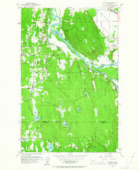
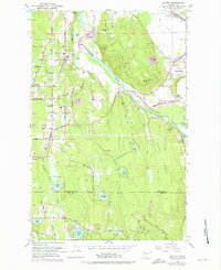
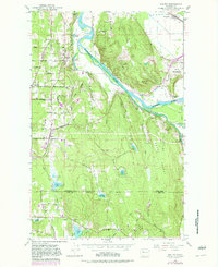
Other maps of this area

1895 · Snohomish
USGS Topo · 1:125,000

1897 · Seattle
USGS Topo · 1:125,000

1921 · Sultan
USGS Topo · 1:125,000

1923 · Sultan
USGS Topo · 1:125,000

1944 · Everett
USGS Topo · 1:62,500

1950 · Redmond
USGS Topo · 1:24,000

1950 · Kirkland
USGS Topo · 1:24,000

1953 · Monroe
USGS Topo · 1:24,000
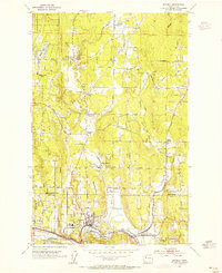
1953 · Bothell
USGS Topo · 1:24,000
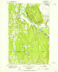
1953 · Maltby
USGS Topo · 1:24,000