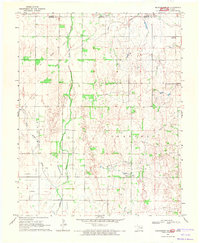
1969 Map of Manchester NW
USGS Topo · Published 1971About this map
Agricultural lands along the border of Kansas Oklahoma define this late-1960s landscape, where the confluence of Sandy Creek and Little Sandy Creek shapes the local topography. The map records a rural infrastructure in transition, notably marking the path of an Old Railroad Grade that once served the grain and livestock transport of Alfalfa County. To the east, the terrain transitions into the Parsons region, characterized by a complex network of drainage feeding into Rush Creek.
Find a feature on this map
16 named features on this map. Tap any name to fly to it.
Don’t see what you’re looking for? This feature index may not catch every label — zoom into the map to look around manually.
Map Details
Editions of this 1969 Manchester NW Map
2 editions found
Other maps of this area

1889 · Anthony
USGS Topo · 1:125,000

1891 · Anthony
USGS Topo · 1:125,000

1955 · Woodward
USGS Topo · 1:250,000

1955 · Pratt
USGS Topo · 1:250,000

1958 · Woodward
USGS Topo · 1:250,000

1959 · Pratt
USGS Topo · 1:250,000

1969 · Amorita
USGS Topo · 1:24,000
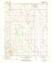
1969 · Manchester
USGS Topo · 1:24,000
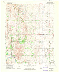
1969 · Sand Creek
USGS Topo · 1:24,000

1969 · Manchester SW
USGS Topo · 1:24,000