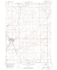
1953 Map of Manhattan
USGS Topo · Published 1974About this map
Manhattan serves as a central hub for this portion of Will County, situated at the intersection of the Milwaukee St Paul and Pacific and Norfolk and Western railroads. The landscape is defined by the headwaters of Prairie Creek, Jackson Creek, and Forked Creek, which drainage patterns suggest a terrain of gentle depressions and glacial rises. While larger settlements like New Lenox anchor the northern edge, the rural character is preserved through scattered local landmarks such as Reiter School and Hinspeter School.
Find a feature on this map
24 named features on this map. Tap any name to fly to it.
Don’t see what you’re looking for? This feature index may not catch every label — zoom into the map to look around manually.
Map Details
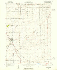
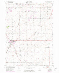
Editions of this 1953 Manhattan Map
3 editions found
Other maps of this area

1890 · Des Plaines
USGS Topo · 1:62,500

1892 · Joliet
USGS Topo · 1:62,500

1892 · Wilmington
USGS Topo · 1:62,500

1894 · Des Plaines
USGS Topo · 1:62,500

1900 · Des Plaines
USGS Topo · 1:62,500

1901 · Des Plaines
USGS Topo · 1:62,500

1918 · Wilmington
USGS Topo · 1:62,500

1923 · Joliet
USGS Topo · 1:62,500

1929 · Tinley Park
USGS Topo · 1:24,000

1929 · Brisbane
USGS Topo · 1:24,000