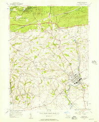
1955 Map of Manheim
USGS Topo · Published 1957About this map
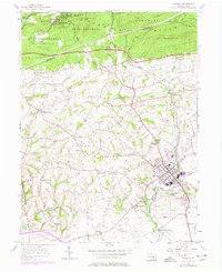
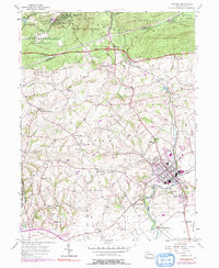
The Cornwall Hills rise along the northern edge of this survey, where the Pennsylvania Turnpike and the HorseShoe Trail cross through heavily wooded tracts of State Game Lands No 145 and State Game Lands No 156. Centered on the town of Manheim, the landscape reveals a dense network of Pennsylvania Dutch country life, marked by numerous rural meeting houses and small family-named settlements like Mastersonville and Old Line.
Find a feature on this map
60 named features on this map. Tap any name to fly to it.
Don’t see what you’re looking for? This feature index may not catch every label — zoom into the map to look around manually.
Map Details
Editions of this 1955 Manheim Map
6 editions found
Other maps of this area

1891 · Lebanon
USGS Topo · 1:62,500

1892 · Hummelstown
USGS Topo · 1:62,500

1893 · Lebanon
USGS Topo · 1:62,500

1899 · Lebanon
USGS Topo · 1:62,500

1902 · Lancaster
USGS Topo · 1:62,500

1904 · Lancaster
USGS Topo · 1:62,500

1908 · Middletown
USGS Topo · 1:62,500

1924 · Hummelstown
USGS Topo · 1:62,500

1943 · Lancaster
USGS Topo · 1:62,500

1943 · Lebanon
USGS Topo · 1:62,500