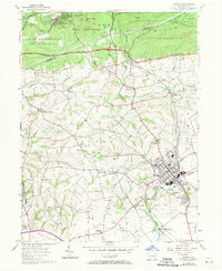
1955 Map of Manheim
USGS Topo · Published 1971About this map
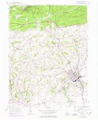
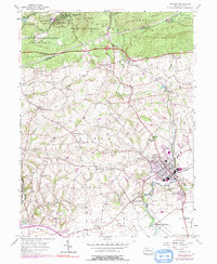
Manheim serves as the industrial and residential hub of this rural landscape, positioned at the intersection of several regional rail lines including the Reading railroad. The topography is defined by the Cornwall Hills and prominent elevations like Governor Dick Hill and Conewago Hill, which provide a backdrop to a dense network of family-named landmarks and country parishes. Small settlements such as Mastersonville, Sporting Hill, and Union Square are connected by a web of rural roads, many of which predated the development of the Pennsylvania Turnpike and its Toll Road seen cutting through the northern townships.
Find a feature on this map
65 named features on this map. Tap any name to fly to it.
Don’t see what you’re looking for? This feature index may not catch every label — zoom into the map to look around manually.
Map Details
Editions of this 1955 Manheim Map
6 editions found
Other maps of this area

1891 · Lebanon
USGS Topo · 1:62,500

1892 · Hummelstown
USGS Topo · 1:62,500

1893 · Lebanon
USGS Topo · 1:62,500

1899 · Lebanon
USGS Topo · 1:62,500

1902 · Lancaster
USGS Topo · 1:62,500

1904 · Lancaster
USGS Topo · 1:62,500

1908 · Middletown
USGS Topo · 1:62,500

1924 · Hummelstown
USGS Topo · 1:62,500

1943 · Lancaster
USGS Topo · 1:62,500

1943 · Lebanon
USGS Topo · 1:62,500