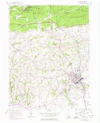
1955 Map of Manheim
USGS Topo · Published 1978About this map
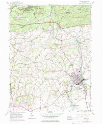
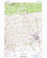
The Cornwall Hills and State Game Lands No 145 dominate the northern landscape of this mid-century survey, where the Lebanon and Lancaster County line cuts through dense woodland. Centered on the industrial and rail hub of Manheim, the map captures the transition from the rolling agricultural tracts of the Rapho and Penn townships to the steeper terrain of Conewago Hill. The grid of Manheim is well-established, served by the Conrail line and surrounded by outlying residential clusters like Elwyn Terrace and Valley View.
Find a feature on this map
59 named features on this map. Tap any name to fly to it.
Don’t see what you’re looking for? This feature index may not catch every label — zoom into the map to look around manually.
Map Details
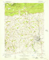
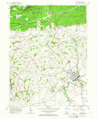
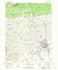
Editions of this 1955 Manheim Map
6 editions found
Other maps of this area

1891 · Lebanon
USGS Topo · 1:62,500

1892 · Hummelstown
USGS Topo · 1:62,500

1893 · Lebanon
USGS Topo · 1:62,500

1899 · Lebanon
USGS Topo · 1:62,500

1902 · Lancaster
USGS Topo · 1:62,500

1904 · Lancaster
USGS Topo · 1:62,500

1908 · Middletown
USGS Topo · 1:62,500

1924 · Hummelstown
USGS Topo · 1:62,500

1943 · Lancaster
USGS Topo · 1:62,500

1943 · Lebanon
USGS Topo · 1:62,500