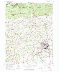
1955 Map of Manheim
USGS Topo · Published 1977About this map
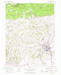
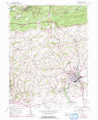
Manheim serves as a central hub in this Lancaster County landscape, where the Conrail line and a dense network of country roads connect established agricultural communities. The map reveals a high concentration of historic religious and social centers, such as Gantz Ch, Hernley Ch, and Ruhls Ch, alongside family-named burial grounds like Earhart Cem. To the north, the terrain rises into the Cornwall Hills, dominated by State Game Lands No 145 and the recreational grounds of Penryn Park YMCA Camp. The inclusion of the Pennsylvania Turnpike and Interchange 20 underscores the mid-century transition from local rail reliance to interstate travel, even as older settlements like Old Line and Mastersonville maintain their traditional footprints near the many runs and creeks.
Find a feature on this map
61 named features on this map. Tap any name to fly to it.
Don’t see what you’re looking for? This feature index may not catch every label — zoom into the map to look around manually.
Map Details
Editions of this 1955 Manheim Map
6 editions found
Other maps of this area

1891 · Lebanon
USGS Topo · 1:62,500

1892 · Hummelstown
USGS Topo · 1:62,500

1893 · Lebanon
USGS Topo · 1:62,500

1899 · Lebanon
USGS Topo · 1:62,500

1902 · Lancaster
USGS Topo · 1:62,500

1904 · Lancaster
USGS Topo · 1:62,500

1908 · Middletown
USGS Topo · 1:62,500

1924 · Hummelstown
USGS Topo · 1:62,500

1943 · Lancaster
USGS Topo · 1:62,500

1943 · Lebanon
USGS Topo · 1:62,500