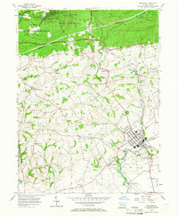
1955 Map of Manheim
USGS Topo · Published 1966About this map
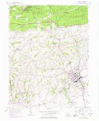
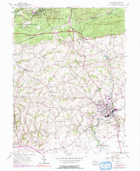
The borough of Manheim anchors this mid-century portrait of northern Lancaster County, showing a landscape defined by traditional Pennsylvania German settlement patterns and modern transit. The town’s grid is established around its central Manheim Sch and industrial sites like the Water Works and Sewage Disposal plant. Further north, the elevation rises into the forested heights of West Cornwall, where the Horseshoe Trail winds past the Governor Dick Fire Tower and the Camp Meeting Grounds of Mount Gretna.
Find a feature on this map
65 named features on this map. Tap any name to fly to it.
Don’t see what you’re looking for? This feature index may not catch every label — zoom into the map to look around manually.
Map Details
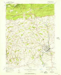
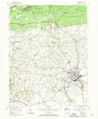
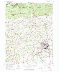
Editions of this 1955 Manheim Map
6 editions found
Other maps of this area

1891 · Lebanon
USGS Topo · 1:62,500

1892 · Hummelstown
USGS Topo · 1:62,500

1893 · Lebanon
USGS Topo · 1:62,500

1899 · Lebanon
USGS Topo · 1:62,500

1902 · Lancaster
USGS Topo · 1:62,500

1904 · Lancaster
USGS Topo · 1:62,500

1908 · Middletown
USGS Topo · 1:62,500

1924 · Hummelstown
USGS Topo · 1:62,500

1943 · Lancaster
USGS Topo · 1:62,500

1943 · Lebanon
USGS Topo · 1:62,500