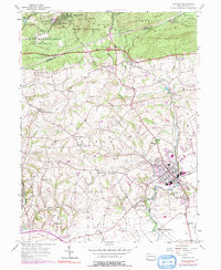
1955 Map of Manheim
USGS Topo · Published 1991About this map
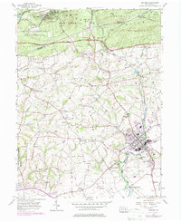
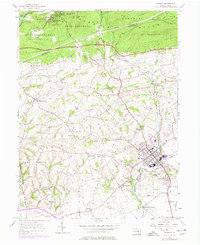
Manheim serves as a central hub in this mid-century portrait of the Pennsylvania Dutch Country, where the borough's dense grid contrasts with the sprawling agricultural landscape of Penn and Rapho townships. The map documents a deeply rooted rural community, evidenced by numerous family-named landmarks and local institutions like Hernley Ch and Gantzs Cem. To the north, the terrain rises into the Cornwall Hills, where the Pennsylvania Turnpike cuts through State Game Lands No 156 near the recreational enclave of Mount Gretna. The drainage patterns of Chickies Creek and its many branches like Back Run dictate the placement of early settlements and junctions. Researchers will find significant genealogical value in the distribution of rural meeting houses and burial grounds, such as East Fairview Ch and Earhart Cem, which represent the core of local township history.
Find a feature on this map
59 named features on this map. Tap any name to fly to it.
Don’t see what you’re looking for? This feature index may not catch every label — zoom into the map to look around manually.
Map Details
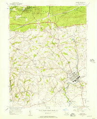
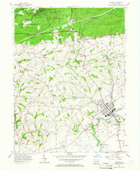
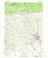
Editions of this 1955 Manheim Map
6 editions found
Other maps of this area

1891 · Lebanon
USGS Topo · 1:62,500

1892 · Hummelstown
USGS Topo · 1:62,500

1893 · Lebanon
USGS Topo · 1:62,500

1899 · Lebanon
USGS Topo · 1:62,500

1902 · Lancaster
USGS Topo · 1:62,500

1904 · Lancaster
USGS Topo · 1:62,500

1908 · Middletown
USGS Topo · 1:62,500

1924 · Hummelstown
USGS Topo · 1:62,500

1943 · Lancaster
USGS Topo · 1:62,500

1943 · Lebanon
USGS Topo · 1:62,500