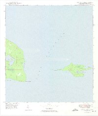
1948 Map of Manitou Island
USGS Topo · Published 1974About this map
Manitou Island and the easternmost tip of the Keweenaw Peninsula define this maritime landscape at the mid-century. The survey, field-checked shortly after the war, documents the critical navigation aids serving the heavy shipping traffic of Lake Superior. Primary landmarks include the Gull Rock Lighthouse and the Manitou Island LH, which sat at a strategic turn for vessels heading toward the Soo Locks or Duluth.
Find a feature on this map
18 named features on this map. Tap any name to fly to it.
Don’t see what you’re looking for? This feature index may not catch every label — zoom into the map to look around manually.
Map Details
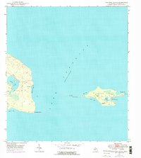
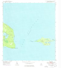
Editions of this 1948 Manitou Island Map
4 editions found
Other maps of this area
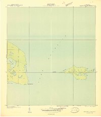
1940 · Manitou Island
USGS Topo · 1:31,680

1940 · Fort Wilkins
USGS Topo · 1:31,680

1948 · Fort Wilkins
USGS Topo · 1:24,000
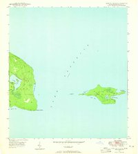
1948 · Manitou Island
USGS Topo · 1:24,000
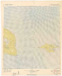
1949 · Manitou Island
USGS Topo · 1:24,000
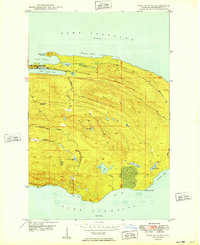
1949 · Fort Wilkins
USGS Topo · 1:24,000

1958 · Hancock
USGS Topo · 1:250,000

1960 · Hancock
USGS Topo · 1:250,000

1961 · Hancock
USGS Topo · 1:250,000

1966 · Hancock
USGS Topo · 1:250,000