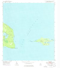
1948 Map of Manitou Island
USGS Topo · Published 1976About this map
Manitou Island and the rugged tip of the Keweenaw Peninsula define this coastal survey, capturing a remote landscape of the Upper Peninsula as it was field-checked in the late 1940s. The map highlights the critical maritime infrastructure of Lake Superior, specifically the Manitou Island LH (Radio Beacon) on the island's eastern end and the Lighthouse situated at Gull Rock. These navigational aids served as sentinels for vessels rounding Keweenaw Point. Inland, the terrain is marked by a series of isolated water bodies, including Schlatter Lake, Gill Lake, and Perch Lake. A prominent Telephone Line is shown stretching across the peninsula and onto the island, tracing a rare path of human utility through the dense forests and rocky shoreline. The map provides a clear record of the natural coastline, from High Rock Bay to the sheltered waters of Fishermans Bay.
Find a feature on this map
19 named features on this map. Tap any name to fly to it.
Don’t see what you’re looking for? This feature index may not catch every label — zoom into the map to look around manually.
Map Details
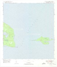
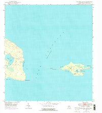
Editions of this 1948 Manitou Island Map
4 editions found
Other maps of this area
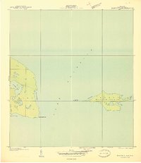
1940 · Manitou Island
USGS Topo · 1:31,680

1940 · Fort Wilkins
USGS Topo · 1:31,680

1948 · Fort Wilkins
USGS Topo · 1:24,000
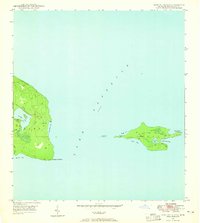
1948 · Manitou Island
USGS Topo · 1:24,000
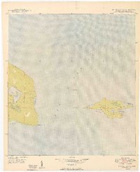
1949 · Manitou Island
USGS Topo · 1:24,000
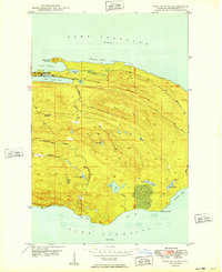
1949 · Fort Wilkins
USGS Topo · 1:24,000

1958 · Hancock
USGS Topo · 1:250,000

1960 · Hancock
USGS Topo · 1:250,000

1961 · Hancock
USGS Topo · 1:250,000

1966 · Hancock
USGS Topo · 1:250,000