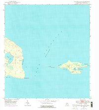
1948 Map of Manitou Island
USGS Topo · Published 1976About this map
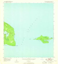
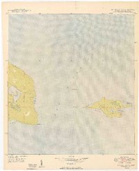
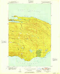
Manitou Island and the rugged eastern tip of the Keweenaw Peninsula stand as maritime sentinels in the waters of Lake Superior. This survey, updated with 1975 aerial revisions, documents the navigational infrastructure essential for Lake Superior shipping, notably the Gull Rock Lighthouse and the Manitou Island LH (Radio Beacon). The land is largely undeveloped, defined by significant water bodies such as Schlatter Lake and Gill Lake on the mainland, and Perch Lake on the island itself. The coastline is marked by deep indentations like Fishermans Bay and High Rock Bay, providing natural shelter. A solitary Telephone Line represents the only significant man-made utility traversing the interior, connecting the lighthouse facilities to the mainland near Keweenaw Point, highlighting the isolation of this Lake Superior outpost.
Find a feature on this map
21 named features on this map. Tap any name to fly to it.
Don’t see what you’re looking for? This feature index may not catch every label — zoom into the map to look around manually.
Map Details
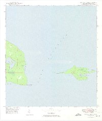
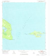
Editions of this 1948 Manitou Island Map
4 editions found
Other maps of this area
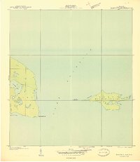
1940 · Manitou Island
USGS Topo · 1:31,680

1940 · Fort Wilkins
USGS Topo · 1:31,680

1948 · Fort Wilkins
USGS Topo · 1:24,000
1948 · Manitou Island
USGS Topo · 1:24,000
1949 · Manitou Island
USGS Topo · 1:24,000
1949 · Fort Wilkins
USGS Topo · 1:24,000

1958 · Hancock
USGS Topo · 1:250,000

1960 · Hancock
USGS Topo · 1:250,000

1961 · Hancock
USGS Topo · 1:250,000

1966 · Hancock
USGS Topo · 1:250,000