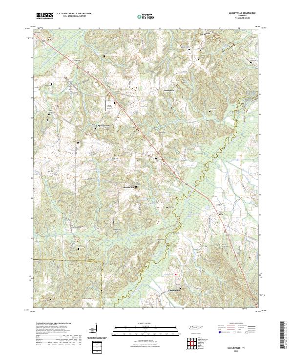
2022 Map of Manleyville
USGS Topo · Published 2022About this map
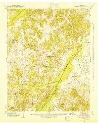
Manleyville and the surrounding rural communities of Henry County sit at a convergence of agriculture and aviation in the Tennessee River valley. The landscape is defined by the winding course of the Big Sandy River, which forms the border between Henry and Benton counties. Significant effort to manage this alluvial terrain is visible through projects like the W Sandy Cr Drainage Ditch and the Rushing Cr Drainage Ditch, alongside the extensive Big Sandy River Dewatering Area. This network of waterways and managed sloughs, including Big Sandy Slough and Gum Slough, illustrates the long-term hydrological engineering required to sustain the region's farms.
Find a feature on this map
94 named features on this map. Tap any name to fly to it.
Don’t see what you’re looking for? This feature index may not catch every label — zoom into the map to look around manually.
Map Details
Editions of this 2022 Manleyville Map
This is the sole edition of this map. No revisions or reprints were ever made.
Historical Maps of Spring Creek Through Time
19 maps found

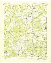
1936 Centerville Landing
Henry County, TN
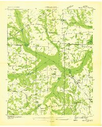
1936 Conyersville
Henry County, TN
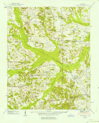
1936 Crossland
Henry County, TN
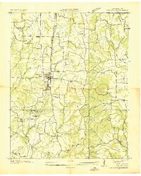
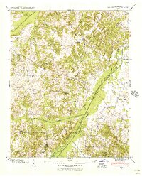
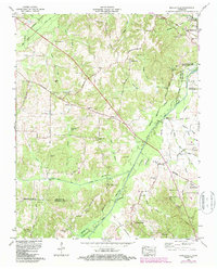
1936 Manleyville
Henry County, TN
1936 Mansfield
Henry County, TN
1936 Springville
Henry County, TN
1938 Springville
Henry County, TN
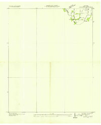
1940 Manleyville
Henry County, TN
1941 Manleyville
Henry County, TN
1950 Mansfield
Henry County, TN
1950 Osage
Henry County, TN
1950 Paris Landing
Henry County, TN
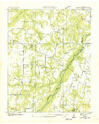
1965 Manleyville
Henry County, TN
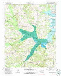
1965 West Sandy Dike
Henry County, TN
2022 Manleyville
Henry County, TN
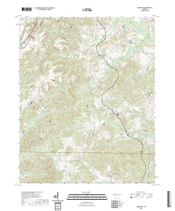
2022 Mansfield
Henry County, TN
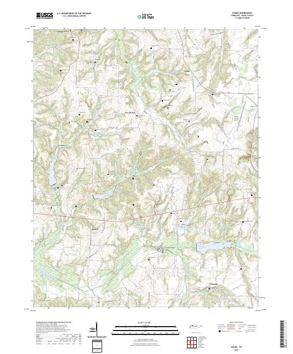
2022 Osage
Henry County, TN
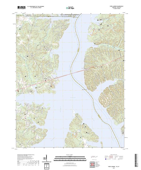
2022 Paris Landing
Henry County, TN
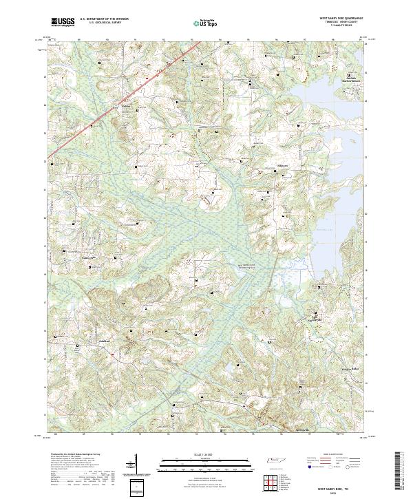
2022 West Sandy Dike
Henry County, TN