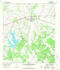
1968 Map of Manor
USGS Topo · Published 1971About this map
The Southern Pacific railroad serves as a central spine for this 1960s Travis County landscape, connecting the town of Manor to the outlying community of New Katy. The era is defined by the expansion of infrastructure near the Austin Corporate Boundary, most notably the prominent Decker Creek Reservoir and an associated aqueduct and pipeline network.
Find a feature on this map
50 named features on this map. Tap any name to fly to it.
Don’t see what you’re looking for? This feature index may not catch every label — zoom into the map to look around manually.
Map Details
Editions of this 1968 Manor Map
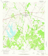
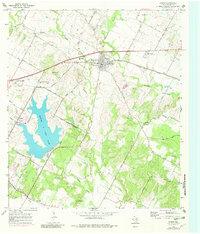
Other maps of this area

1885 · Bastrop
USGS Topo · 1:125,000

1893 · Bastrop
USGS Topo · 1:125,000

1896 · Austin
USGS Topo · 1:125,000

1897 · Austin
USGS Topo · 1:125,000

1904 · Bastrop
USGS Topo · 1:125,000

1910 · Austin
USGS Topo · 1:125,000

1948 · Elgin
USGS Topo · 1:62,500

1948 · Bastrop
USGS Topo · 1:62,500

1950 · Bastrop
USGS Topo · 1:62,500

1950 · Elgin
USGS Topo · 1:62,500