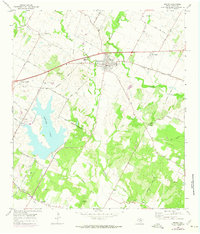
1968 Map of Manor
USGS Topo · Published 1974About this map
The Southern Pacific railroad corridor anchors this transition between rural farmland and the expanding Austin corporate boundary. Centered on the town of Manor, the map reveals a landscape defined by deeply cut waterways like Gilleland Creek and Wilbarger Creek. A significant portion of the western territory is dominated by the waters of Decker Lake, with its associated Decker Substa and radio infrastructure, including the Radio Towers (KHFI). The survey captures a distinct social landscape of family-named road networks like Fuchs Grove Road and Blake Manor Road, alongside numerous rural burial grounds such as Rosehill Cem and Jones Cemeteries. These features, coupled with the Oak Crest Manor Nursing Home, illustrate the community development of eastern Travis County during the late 1960s and early 1970s.
Find a feature on this map
45 named features on this map. Tap any name to fly to it.
Don’t see what you’re looking for? This feature index may not catch every label — zoom into the map to look around manually.
Map Details
Editions of this 1968 Manor Map
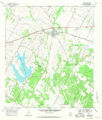
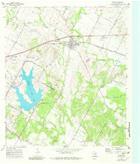
Other maps of this area

1885 · Bastrop
USGS Topo · 1:125,000

1893 · Bastrop
USGS Topo · 1:125,000

1896 · Austin
USGS Topo · 1:125,000

1897 · Austin
USGS Topo · 1:125,000

1904 · Bastrop
USGS Topo · 1:125,000

1910 · Austin
USGS Topo · 1:125,000

1948 · Elgin
USGS Topo · 1:62,500

1948 · Bastrop
USGS Topo · 1:62,500

1950 · Bastrop
USGS Topo · 1:62,500

1950 · Elgin
USGS Topo · 1:62,500