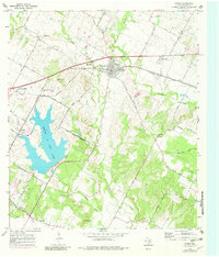
1968 Map of Manor
USGS Topo · Published 1982About this map
The town of Manor serves as a focal point in this late-1960s landscape, positioned along the Southern Pacific railroad and bisected by a network of rural roads such as Blue Goose Road and Hog Eye Road. The topography is defined by the significant footprint of Walter E Long Lake and the winding paths of Gilleland Creek and Wilbarger Creek. A strong sense of local heritage is evident in the numerous family and community landmarks, including the Decker Free Church Cem and several smaller burial grounds like Easley Cem and Glasscock Cem. The survey illustrates the rural character of Travis County before significant suburban expansion, where the Austin Corporate Boundary sits just west of the sprawling lake, and smaller settlements like New Katy and Hornsby maintain their distinct identities amidst active gravel pits and agricultural lands.
Find a feature on this map
47 named features on this map. Tap any name to fly to it.
Don’t see what you’re looking for? This feature index may not catch every label — zoom into the map to look around manually.
Map Details
Editions of this 1968 Manor Map
Other maps of this area

1885 · Bastrop
USGS Topo · 1:125,000

1893 · Bastrop
USGS Topo · 1:125,000

1896 · Austin
USGS Topo · 1:125,000

1897 · Austin
USGS Topo · 1:125,000

1904 · Bastrop
USGS Topo · 1:125,000

1910 · Austin
USGS Topo · 1:125,000

1948 · Elgin
USGS Topo · 1:62,500

1948 · Bastrop
USGS Topo · 1:62,500

1950 · Bastrop
USGS Topo · 1:62,500

1950 · Elgin
USGS Topo · 1:62,500