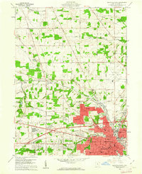
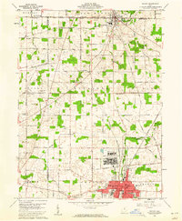
1960 Map of Mansfield North
USGS Topo · Published 1962About this map
Mansfield anchor the southern portion of this 1960 survey, revealing a bustling mid-century industrial and transit hub before significant interstate expansion. The landscape is defined by a dense rail network where the Pennsylvania, Baltimore and Ohio, and Erie Lackawanna lines converge at points like Toledo Junction. North of the city, the State Reformatory stands as a massive landmark near the winding Black Fork Mohican River, while the Mansfield Municipal Airport marks the transition from urban to rural terrain. The northern townships of Jackson and Franklin maintain a traditional agricultural character, dotted with family-named landmarks like Boyce Cem and Brubaker. This map captures the region’s development just as Roseland and Ontario began to grow, providing a clear record of established schools like Simpson Jr High Sch and Newman Sch alongside the sprawling County Fairground.
Find a feature on this map
84 named features on this map. Tap any name to fly to it.
Don’t see what you’re looking for? This feature index may not catch every label — zoom into the map to look around manually.
Map Details
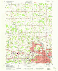
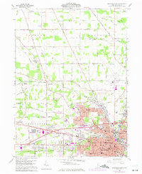
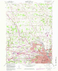
Editions of this 1960 Mansfield North Map
4 editions found
Other maps of this area

1908 · Ashland
USGS Topo · 1:62,500

1912 · Perrysville
USGS Topo · 1:62,500

1915 · Crestline
USGS Topo · 1:62,500

1915 · Perrysville
USGS Topo · 1:62,500

1915 · Shauck
USGS Topo · 1:62,500

1943 · Shauck
USGS Topo · 1:62,500

1943 · Crestline
USGS Topo · 1:62,500

1944 · Perrysville
USGS Topo · 1:62,500

1950 · Marion
USGS Topo · 1:250,000
1960 · Shelby
USGS Topo · 1:24,000