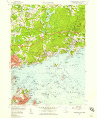
1956 Map of Marblehead North
USGS Topo · Published 1959About this map
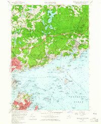
Coastal Essex County centers on a rugged stretch of the North Shore during the mid-1950s, where traditional maritime heritage meets post-war suburban development. The shore is defined by a complex archipelago of islands and rocky points, from the granite reaches of Bakers Island and Great Misery Island to the strategic fortifications at Fort Pickering on Winter Island. In-land, the landscape transitions to the estate-dotted hills of Hamilton and Wenham, home to the Myopia Hunt Club and institutional campuses like Gordon College and the Carmelite Jr Seminary.
Find a feature on this map
95 named features on this map. Tap any name to fly to it.
Don’t see what you’re looking for? This feature index may not catch every label — zoom into the map to look around manually.
Map Details
Editions of this 1956 Marblehead North Map
2 editions found
Other maps of this area

1886 · Gloucester
USGS Topo · 1:62,500

1888 · Gloucester
USGS Topo · 1:62,500

1888 · Salem
USGS Topo · 1:62,500

1892 · Boston Bay
USGS Topo · 1:62,500

1893 · Salem
USGS Topo · 1:62,500

1893 · Gloucester
USGS Topo · 1:62,500

1903 · Boston Bay
USGS Topo · 1:62,500

1917 · Salem
USGS Topo · 1:62,500

1918 · Gloucester
USGS Topo · 1:62,500

1919 · Salem
USGS Topo · 1:62,500