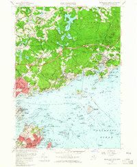
1956 Map of Marblehead North
USGS Topo · Published 1965About this map
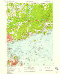
The rocky North Shore of Massachusetts is detailed here during a period of significant postwar growth, particularly along the State Highway 128 corridor. Coastal settlements like Beverly Farms, Manchester, and Marblehead maintain their traditional maritime character, while the interior woods around Chebacco Lake and Gravelly Pond show the early stages of suburban expansion. The map records several notable institutions, including the Carmelite Seminary in South Hamilton and Endicott Jr College in Beverly. Nautical navigation is well-documented with the Marblehead Lighthouse and Lighthouse Hospital Point marking the approaches to Salem Harbor. Military and civil history is grounded in landmarks like Fort Sewall and Fort Pickering, alongside the U.S. Coast Guard Air Station on Winter Island. These features illustrate a landscape where 18th-century maritime defenses and 20th-century aviation infrastructure coexist along a jagged, island-strewn shoreline.
Find a feature on this map
190 named features on this map. Tap any name to fly to it.
Don’t see what you’re looking for? This feature index may not catch every label — zoom into the map to look around manually.
Map Details
Editions of this 1956 Marblehead North Map
2 editions found
Other maps of this area

1886 · Gloucester
USGS Topo · 1:62,500

1888 · Gloucester
USGS Topo · 1:62,500

1888 · Salem
USGS Topo · 1:62,500

1892 · Boston Bay
USGS Topo · 1:62,500

1893 · Salem
USGS Topo · 1:62,500

1893 · Gloucester
USGS Topo · 1:62,500

1903 · Boston Bay
USGS Topo · 1:62,500

1917 · Salem
USGS Topo · 1:62,500

1918 · Gloucester
USGS Topo · 1:62,500

1919 · Salem
USGS Topo · 1:62,500