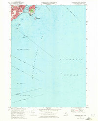
1970 Map of Marblehead South
USGS Topo · Published 1972About this map
Marblehead Neck and the surrounding coastal reaches of Massachusetts Bay are captured here as they appeared in 1970. The map focuses heavily on the maritime geography of the North Shore, where the tidal waters of Marblehead Harbor separate the densely developed town from the rocky peninsula. The residential landscape of Devereux and the older cores of Marblehead are shown with significant detail, including local landmarks like Alley Hospital and Seaside Park.
Find a feature on this map
35 named features on this map. Tap any name to fly to it.
Don’t see what you’re looking for? This feature index may not catch every label — zoom into the map to look around manually.
Map Details
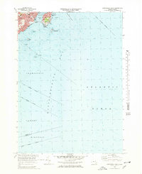
Editions of this 1970 Marblehead South Map
2 editions found
Other maps of this area

1886 · Gloucester
USGS Topo · 1:62,500

1888 · Gloucester
USGS Topo · 1:62,500

1888 · Salem
USGS Topo · 1:62,500

1892 · Boston Bay
USGS Topo · 1:62,500

1893 · Salem
USGS Topo · 1:62,500

1893 · Gloucester
USGS Topo · 1:62,500

1903 · Boston Bay
USGS Topo · 1:62,500

1917 · Salem
USGS Topo · 1:62,500

1918 · Gloucester
USGS Topo · 1:62,500

1919 · Salem
USGS Topo · 1:62,500