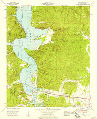
1953 Map of Margerum
USGS Topo · Published 1958About this map
Margerum serves as a focal point for industry and recreation in this post-war landscape, situated along the Southern Highway and a dismantled railroad line. The local economy is anchored by the Alabama Asphaltic Limestone Company and a nearby Mill. The creation of Pickwick Lake significantly altered the terrain, resulting in the development of summer retreats like the Aurora Springs Cabin Area and Buchanan Peninsula Cabin Area along its winding shores.
Find a feature on this map
75 named features on this map. Tap any name to fly to it.
Don’t see what you’re looking for? This feature index may not catch every label — zoom into the map to look around manually.
Map Details
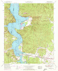
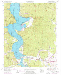
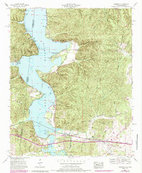
Editions of this 1953 Margerum Map
4 editions found
Other maps of this area

1911 · Iuka
USGS Topo · 1:48,000

1914 · Iuka
USGS Topo · 1:62,500

1924 · Gravelly Springs
USGS Topo · 1:48,000

1925 · Barton
USGS Topo · 1:62,500

1926 · Barton
USGS Topo · 1:48,000

1926 · Gravelly Springs
USGS Topo · 1:62,500

1929 · Barton
USGS Topo · 1:62,500

1935 · Cherokee
USGS Topo · 1:24,000

1935 · Wright
USGS Topo · 1:24,000

1935 · Iuka
USGS Topo · 1:24,000