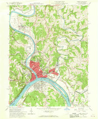
1957 Map of Marietta
USGS Topo · Published 1968About this map
The confluence of the Ohio River and Muskingum River defines this 1957 landscape, where the historic settlement of Marietta serves as the focal point for river-based commerce and industry. The city's deep history is evident in labels like the Campus Martius Museum, the Ft Harmar Monument, and Mound Cem, which sits near the ancient earthwork simply labeled Mound. Across the water, the town of Williamstown and the large Buckley Island mark the West Virginia shore, while the Baltimore and Ohio railroad corridor traces the Ohio's banks.
Find a feature on this map
89 named features on this map. Tap any name to fly to it.
Don’t see what you’re looking for? This feature index may not catch every label — zoom into the map to look around manually.
Map Details
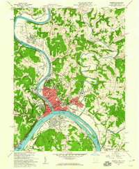
Editions of this 1957 Marietta Map
2 editions found
Other maps of this area

1902 · Parkersburg
USGS Topo · 1:62,500

1903 · Macksburg
USGS Topo · 1:62,500

1904 · Parkersburg
USGS Topo · 1:62,500

1904 · Marietta
USGS Topo · 1:62,500

1905 · Macksburg
USGS Topo · 1:62,500

1909 · Caldwell
USGS Topo · 1:62,500

1912 · Caldwell
USGS Topo · 1:62,500

1924 · Marietta
USGS Topo · 1:62,500

1927 · Marietta
USGS Topo · 1:62,500

1949 · Clarksburg
USGS Topo · 1:250,000