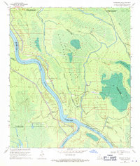
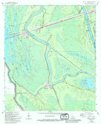
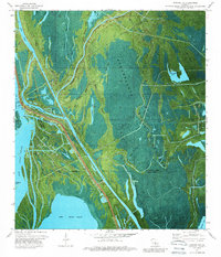
1969 Map of Maringouin NW
USGS Topo · Published 1971This historical map portrays the area of Maringouin NW in 1969, primarily covering St. Martin Parish as well as portions of Iberville Parish, St. Landry Parish, and Pointe Coupee Parish. Featuring a scale of 1:24000, this map provides a highly detailed snapshot of the terrain, roads, buildings, counties, and historical landmarks in the Maringouin NW region at the time. Published in 1971, it is one of 3 known editions of this map due to revisions or reprints.
Find a feature on this map
31 named features on this map. Tap any name to fly to it.
Don’t see what you’re looking for? This feature index may not catch every label — zoom into the map to look around manually.
Map Details
Editions of this 1969 Maringouin NW Map
3 editions found
Historical Maps of St. Landry Parish Through Time
18 maps found
1939 St. Martinsville
St. Martin Parish, LA

1948 Foster
St. Martin Parish, LA
1966 Napoleonville SW
St. Martin Parish, LA
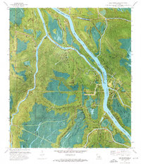
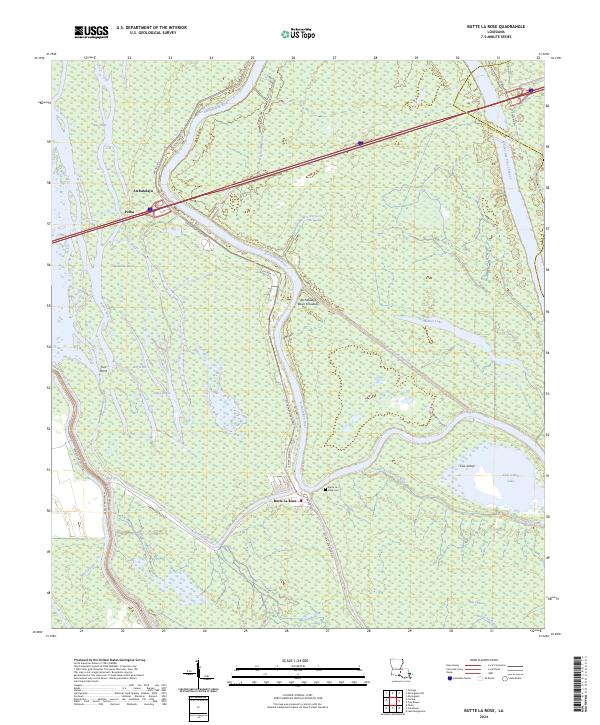
1968 Butte La Rose
St. Martin Parish, LA
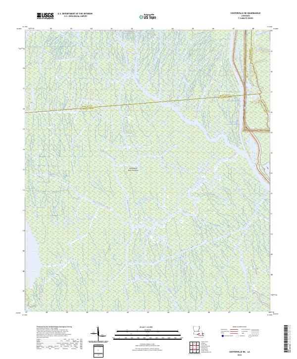
1969 Centerville NE
St. Martin Parish, LA
1969 Maringouin NW
St. Martin Parish, LA
1969 Tiger Island
St. Martin Parish, LA
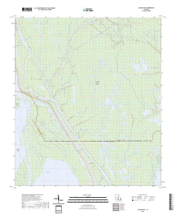
1973 Jackass Bay
St. Martin Parish, LA
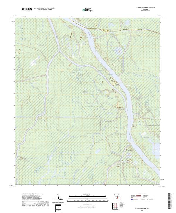
1973 Lake Mongoulois
St. Martin Parish, LA
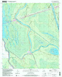
1999 Butte La Rose
St. Martin Parish, LA
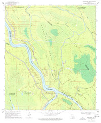
1999 Maringouin NW
St. Martin Parish, LA
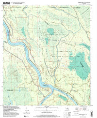
2024 Butte La Rose
St. Martin Parish, LA
2024 Centerville NE
St. Martin Parish, LA
2024 Jackass Bay
St. Martin Parish, LA
2024 Lake Mongoulois
St. Martin Parish, LA
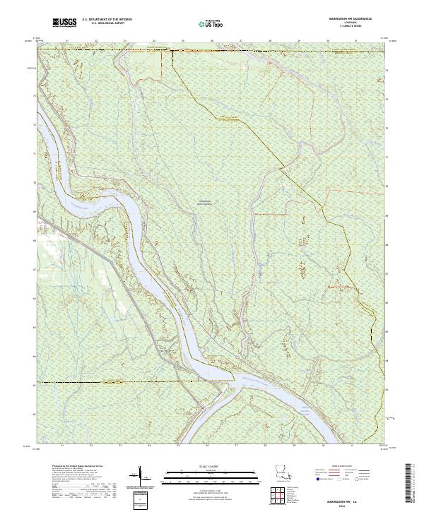
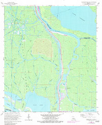
2024 Maringouin NW
St. Martin Parish, LA
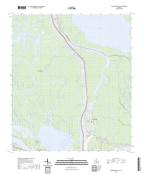
2024 Napoleonville SW
St. Martin Parish, LA
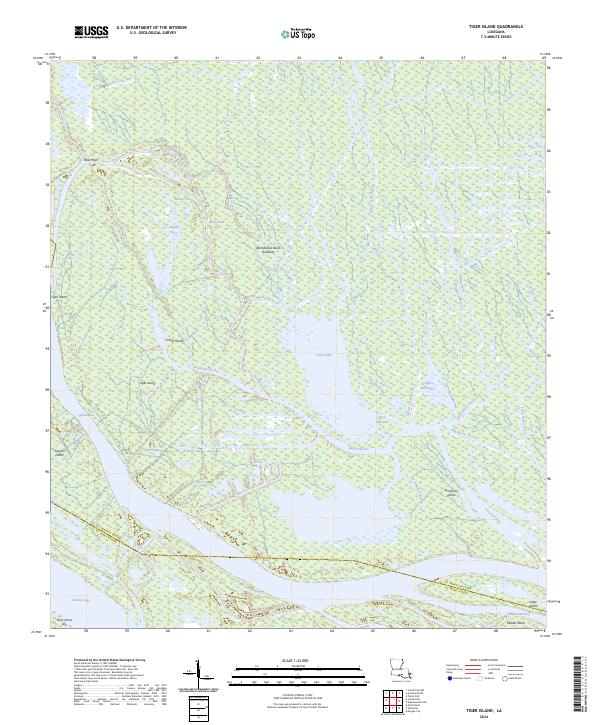
2024 Tiger Island
St. Martin Parish, LA
Featured Locations
- United States
- St. Landry Parish, LA
- Pointe Coupee Parish, LA
- Iberville Parish, LA
- Saint Martin Parish, LA