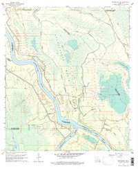
1969 Map of Maringouin NW
USGS Topo · Published 1977About this map
The Atchafalaya Basin Floodway dominates this mid-century landscape, revealing an intricate network of wetlands and hydraulic engineering. Deep in the river bottomlands, the confluence of the Atchafalaya River and its various tributaries, including Alabama Bayou and Bayou Courtableau, illustrates the complex hydrology of the region. The map captures a moment when industrial extraction was firmly established in the swamp, evidenced by the Happytown Oil and Gas Field and its southern counterpart, the South Happytown Oil and Gas Field. A series of prominent Levees and an extensive Pipeline network cut through the Des Ourses Swamp, highlighting the ongoing efforts to manage water and transport energy. Smaller water bodies like Lake Valerie and Lake Comeaux sit alongside the Whisky Bay Pilot Channel, providing a detailed look at the basin's topography before modern environmental shifts.
Find a feature on this map
34 named features on this map. Tap any name to fly to it.
Don’t see what you’re looking for? This feature index may not catch every label — zoom into the map to look around manually.
Map Details
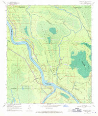
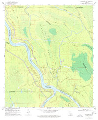
Editions of this 1969 Maringouin NW Map
3 editions found
Other maps of this area

1935 · Osca Bayou
USGS Topo · 1:62,500

1939 · Fordoche
USGS Topo · 1:62,500

1940 · Arnaudville
USGS Topo · 1:62,500

1953 · Cow Bayou
USGS Topo · 1:24,000

1953 · Maringouin
USGS Topo · 1:24,000

1954 · Fordoche
USGS Topo · 1:24,000

1954 · Baton Rouge
USGS Topo · 1:250,000

1955 · Osca Bayou
USGS Topo · 1:62,500

1955 · Fordoche
USGS Topo · 1:62,500

1956 · Baton Rouge
USGS Topo · 1:250,000
Featured Places
- St. Landry Parish, LA
- Saint Martin Parish, LA
- Iberville Parish, LA
- Pointe Coupee Parish, LA
- United States