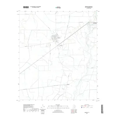
2019 Map of Markham
USGS Topo · Published 2019About this map
The Colorado River defines the eastern boundary of this Matagorda County landscape, winding south past Bay City toward the Gulf Coast. In the center of the sheet, the town of Markham is laid out in a clear grid of numbered streets and lettered avenues, including Broadway St and Ave F. This organized settlement pattern contrasts with the surrounding agricultural and ranching land, which is crisscrossed by drainage features like Wilson Cr and access roads like FM 1468.
Find a feature on this map
49 named features on this map. Tap any name to fly to it.
Don’t see what you’re looking for? This feature index may not catch every label — zoom into the map to look around manually.
Map Details
Editions of this 2019 Markham Map
This is the sole edition of this map. No revisions or reprints were ever made.
Other maps of this area

1950 · Houston
USGS Topo · 1:250,000

1951 · Bay City
USGS Topo · 1:250,000

1951 · Danevang
USGS Topo · 1:24,000

1952 · Lane City SE
USGS Topo · 1:24,000

1952 · Blessing SE
USGS Topo · 1:24,000

1952 · Blessing
USGS Topo · 1:24,000

1952 · Bay City
USGS Topo · 1:24,000

1952 · Markham
USGS Topo · 1:24,000

1952 · Van Vleck
USGS Topo · 1:24,000

1952 · Midfield
USGS Topo · 1:24,000