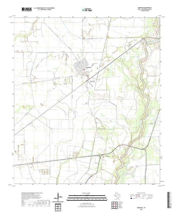
2022 Map of Markham
USGS Topo · Published 2022About this map
Markham sits as the central settlement on this coastal prairie landscape, its residential grid defined by numerical streets from 1st St up to 11th St. The town's historical footprint is anchored by the Markham Cem to the east, while the W D Cornelius Ranch Airport indicates the continued importance of ranching and private aviation in this part of Matagorda County. To the southeast, the small community of Buckeye marks a distinct point of interest for local historians.
Find a feature on this map
51 named features on this map. Tap any name to fly to it.
Don’t see what you’re looking for? This feature index may not catch every label — zoom into the map to look around manually.
Map Details
Editions of this 2022 Markham Map
This is the sole edition of this map. No revisions or reprints were ever made.
Other maps of this area

1950 · Houston
USGS Topo · 1:250,000

1951 · Bay City
USGS Topo · 1:250,000

1951 · Danevang
USGS Topo · 1:24,000

1952 · Lane City SE
USGS Topo · 1:24,000

1952 · Blessing SE
USGS Topo · 1:24,000

1952 · Blessing
USGS Topo · 1:24,000

1952 · Bay City
USGS Topo · 1:24,000

1952 · Markham
USGS Topo · 1:24,000

1952 · Van Vleck
USGS Topo · 1:24,000

1952 · Midfield
USGS Topo · 1:24,000