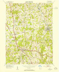
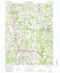
1953 Map of Mars
USGS Topo · Published 1955About this map
The rolling hills of southern Butler County meet the growing northern suburbs of Allegheny County in this 1953 survey. The borough of Mars is the primary hub, served by the Baltimore and Ohio railroad which passes through neighboring Callery and Myoma. The landscape is transitioning from an agricultural and industrial base—evidenced by a Clay Pit and the presence of the Thorn Hill Industrial School—to a more residential pattern along the developing corridors of Franklin Road and the recently constructed Pennsylvania Turnpike.
Find a feature on this map
49 named features on this map. Tap any name to fly to it.
Don’t see what you’re looking for? This feature index may not catch every label — zoom into the map to look around manually.
Map Details
Editions of this 1953 Mars Map
5 editions found
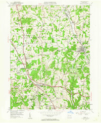
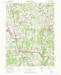
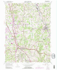
Other maps of this area

1906 · Sewickley
USGS Topo · 1:62,500

1908 · Sewickley
USGS Topo · 1:62,500

1908 · New Kensington
USGS Topo · 1:62,500

1908 · Zelienople
USGS Topo · 1:62,500

1909 · Butler
USGS Topo · 1:62,500

1910 · New Kensington
USGS Topo · 1:62,500

1910 · Zelienople
USGS Topo · 1:62,500

1911 · Butler
USGS Topo · 1:62,500

1950 · Valencia
USGS Topo · 1:24,000

1951 · Canton
USGS Topo · 1:250,000