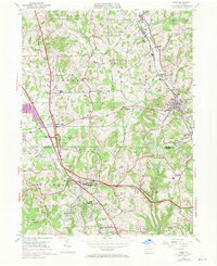
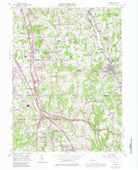
1953 Map of Mars
USGS Topo · Published 1970About this map
Mars and the surrounding borderlands of Butler Co and Allegheny Co are defined by the transition from rural agricultural crossroads to modern infrastructure. The landscape is marked by numerous Oil Wells, particularly scattered across Jackson and Cranberry townships, signaling the region's energy history. Transportation networks intersect here, from the Baltimore and Ohio Railroad passing through Callery to the Pennsylvania Turnpike cutting across the southern reaches.
Find a feature on this map
45 named features on this map. Tap any name to fly to it.
Don’t see what you’re looking for? This feature index may not catch every label — zoom into the map to look around manually.
Map Details
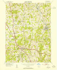
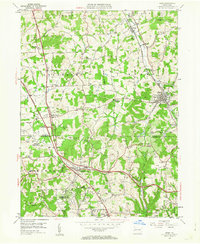
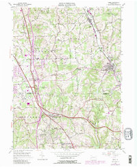
Editions of this 1953 Mars Map
5 editions found
Other maps of this area

1906 · Sewickley
USGS Topo · 1:62,500

1908 · Sewickley
USGS Topo · 1:62,500

1908 · New Kensington
USGS Topo · 1:62,500

1908 · Zelienople
USGS Topo · 1:62,500

1909 · Butler
USGS Topo · 1:62,500

1910 · New Kensington
USGS Topo · 1:62,500

1910 · Zelienople
USGS Topo · 1:62,500

1911 · Butler
USGS Topo · 1:62,500

1950 · Valencia
USGS Topo · 1:24,000

1951 · Canton
USGS Topo · 1:250,000