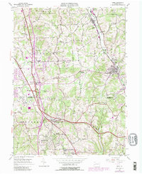
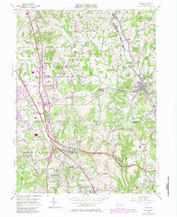
1953 Map of Mars
USGS Topo · Published 1980About this map
Industrial and rural landscapes meet along the Butler Co Allegheny Co line in this mid-century portrait of southern Butler County. The Baltimore and Ohio railroad corridor anchors the eastern settlements of Mars and Callery, while the western portion of the sheet shows the early suburban and commercial expansion around Cranberry and Criders Corners. The landscape is a mix of small-town centers and institutional land use, most notably the extensive grounds of the Thorn Hill Industrial School and the wooded reaches of State Game Lands No 203.
Find a feature on this map
49 named features on this map. Tap any name to fly to it.
Don’t see what you’re looking for? This feature index may not catch every label — zoom into the map to look around manually.
Map Details
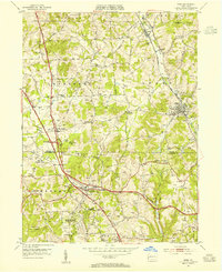
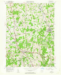
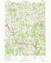
Editions of this 1953 Mars Map
5 editions found
Other maps of this area

1906 · Sewickley
USGS Topo · 1:62,500

1908 · Sewickley
USGS Topo · 1:62,500

1908 · New Kensington
USGS Topo · 1:62,500

1908 · Zelienople
USGS Topo · 1:62,500

1909 · Butler
USGS Topo · 1:62,500

1910 · New Kensington
USGS Topo · 1:62,500

1910 · Zelienople
USGS Topo · 1:62,500

1911 · Butler
USGS Topo · 1:62,500

1950 · Valencia
USGS Topo · 1:24,000

1951 · Canton
USGS Topo · 1:250,000