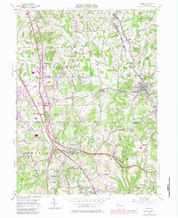
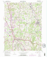
1953 Map of Mars
USGS Topo · Published 1980About this map
The Baltimore and Ohio railroad corridor anchors this mid-century look at the border between Butler and Allegheny counties, connecting the boroughs of Callery and Mars. The landscape transitions from the established agricultural and early industrial base of Cranberry and Adams townships toward the growing residential patterns emerging near Wexford and Bradford Woods. This era shows the significant presence of the Thorn Hill Industrial School and the early infrastructure of the Pennsylvania Turnpike as it began to reshape local transit.
Find a feature on this map
42 named features on this map. Tap any name to fly to it.
Don’t see what you’re looking for? This feature index may not catch every label — zoom into the map to look around manually.
Map Details
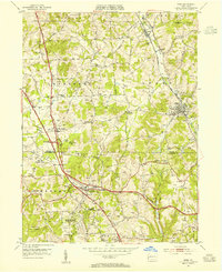
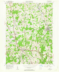
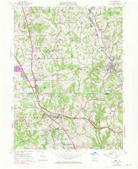
Editions of this 1953 Mars Map
5 editions found
Other maps of this area

1906 · Sewickley
USGS Topo · 1:62,500

1908 · Sewickley
USGS Topo · 1:62,500

1908 · New Kensington
USGS Topo · 1:62,500

1908 · Zelienople
USGS Topo · 1:62,500

1909 · Butler
USGS Topo · 1:62,500

1910 · New Kensington
USGS Topo · 1:62,500

1910 · Zelienople
USGS Topo · 1:62,500

1911 · Butler
USGS Topo · 1:62,500

1950 · Valencia
USGS Topo · 1:24,000

1951 · Canton
USGS Topo · 1:250,000